Loretteville, Quebec City
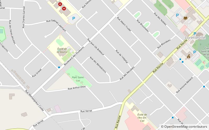
Map

Map

Facts and practical information
Loretteville is a former city in central Quebec, Canada. It was amalgamated into Quebec City on January 1, 2002. It is located within the borough of La Haute-Saint-Charles, and also contains the upmarket neighbourhood of Montchâtel. Its population in 2001 was 13,737 residents. ()
Coordinates: 46°50'60"N, 71°22'0"W
Address
La Haute-Saint-Charles (Loretteville)Quebec City
ContactAdd
Social media
Add
Day trips
Loretteville – popular in the area (distance from the attraction)
Nearby attractions include: Galeries de la Capitale, Islamic Cultural Centre of Quebec City, Fleur de Lys centre commercial, Chute Kabir Kouba.
Frequently Asked Questions (FAQ)
Which popular attractions are close to Loretteville?
Nearby attractions include Musée Huron-Wendat, Quebec City (17 min walk), Chute Kabir Kouba, Quebec City (17 min walk).


