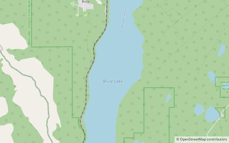
Brûlé Lake
Map

Map

Facts and practical information
Brûlé Lake is a lake in western Alberta, Canada. It is formed along the Athabasca River, immediately east of Jasper National Park and 30 km west of Hinton. According to one tradition, the lake was named for a burnt tract of woods near the site. ()
Alternative names: Area: 5.6 mi²Length: 6.21 miWidth: 6562 ftElevation: 3219 ft a.s.l.Coordinates: 53°17'7"N, 117°51'7"W
Location
Alberta
ContactAdd
Social media
Add
Day trips
Brûlé Lake – popular in the area (distance from the attraction)
Nearby attractions include: Roche à Perdrix.

