Big Rideau Lake
Map

Map

Facts and practical information
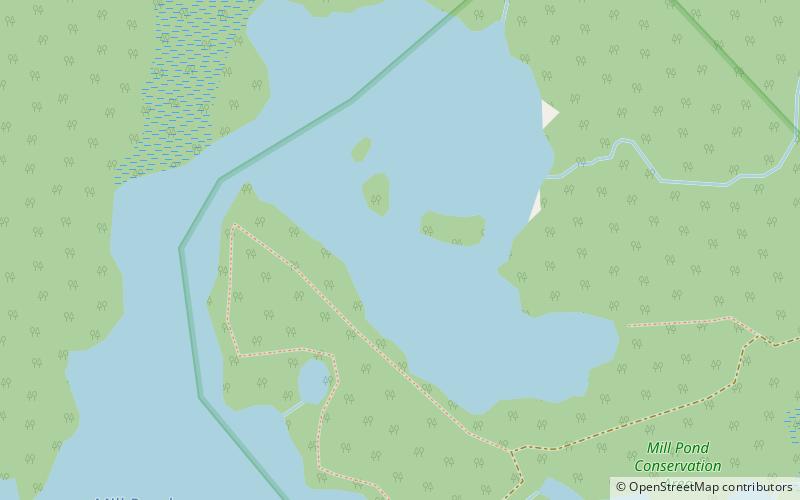
Big Rideau Lake is a lake in the municipalities of Tay Valley and Drummond/North Elmsley, Lanark County and Rideau Lakes, United Counties of Leeds and Grenville in Eastern Ontario, Canada. The lake is on the border between the two counties, 72 kilometres to the southwest of Ottawa. It is 32 kilometres long and is 6 kilometres wide, is much narrower at its northeastern end than at its southwestern end, and is part of the Saint Lawrence River drainage basin. It is the largest lake on the Rideau Canal, which was designated a UNESCO world heritage site in 2007. ()
Alternative names: Length: 19.88 miWidth: 3.73 miMaximum depth: 360 ftElevation: 413 ft a.s.l.Coordinates: 44°46'47"N, 76°11'10"W
Location
Ontario
ContactAdd
Social media
Add
Day trips
Big Rideau Lake – popular in the area (distance from the attraction)
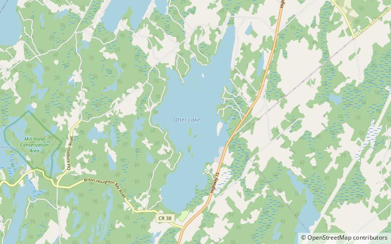
Nearby attractions include: Otter Lake, Murphys Point Provincial Park.


