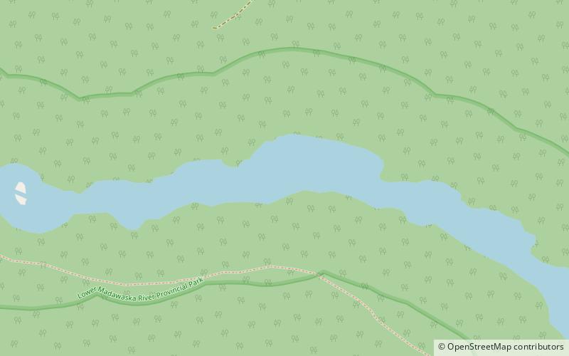
Lower Madawaska River Provincial Park
Map

Map

Facts and practical information
Lower Madawaska River Provincial Park is a waterway-class provincial park on the Madawaska River in Renfrew County, Ontario, Canada. The park includes the shores on both sides of the Madawaska River from Latchford Bridge to Griffith. ()
Established: 1989 (37 years ago)Area: 4.63 mi²Elevation: 892 ft a.s.l.Coordinates: 45°14'8"N, 77°21'1"W
