Sgurra Bhreac
Map

Map

Facts and practical information
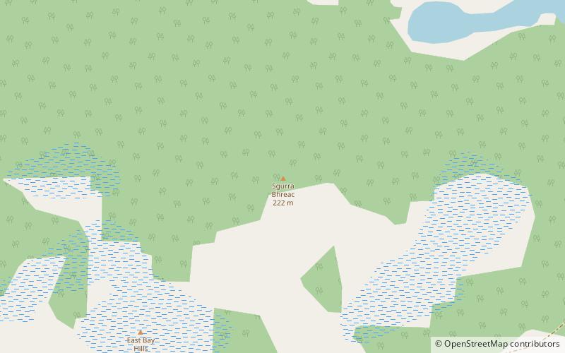
Sgurra Bhreac, sometimes referred to as the Big Rock, is a Canadian peak in the East Bay Hills of Cape Breton Island, an extension of the Appalachian mountain chain in the province of Nova Scotia. Sgurra Bhreac is a prominent rock outcrop, rising 50 m from the northern edge of The Big Barren, between the Breac Brook and Glengarry Valleys, and is the highest point on Cape Breton Island south of the Bras d'Or Lake with its summit at 222 m. ()
Elevation: 728 ftProminence: 696 ftCoordinates: 45°55'42"N, 60°25'47"W
Location
Nova Scotia
ContactAdd
Social media
Add
Day trips
Sgurra Bhreac – popular in the area (distance from the attraction)
Nearby attractions include: Ben Eoin Provincial Park, Ben Eoin, Otter Lake.


