King Peak, Kluane National Park

Gallery (1)
Map
Map
Facts and practical information
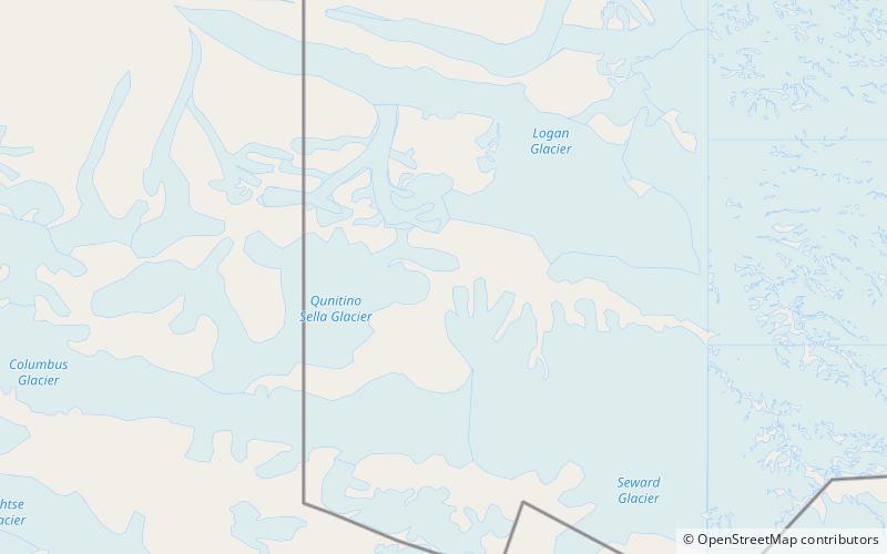
King Peak is the fourth-highest mountain in Canada and the ninth-highest peak in North America. Situated just west of Mount Logan, in Yukon, it is considered a satellite peak of that massive mountain. ()
Alternative names: First ascent: 1952Elevation: 16972 ftProminence: 3520 ftCoordinates: 60°34'59"N, 140°39'14"W
Address
Kluane National Park
ContactAdd
Social media
Add