Lake Témiscouata
Map

Map

Facts and practical information
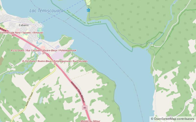
Lake Témiscouata is a lake in the Témiscouata region of southeastern Quebec, Canada. It is 45 km long and 5 km wide. The Madawaska River flows from this lake to the Saint John River. ()
Alternative names: Area: 25.1 mi²Length: 27.96 miWidth: 3.11 miElevation: 469 ft a.s.l.Coordinates: 47°40'0"N, 68°49'60"W
Location
Québec
ContactAdd
Social media
Add
Day trips
Lake Témiscouata – popular in the area (distance from the attraction)
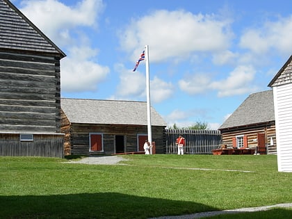
Nearby attractions include: Fort Ingall.

