Tincap Golf Club, Brockville
Map

Map

Facts and practical information
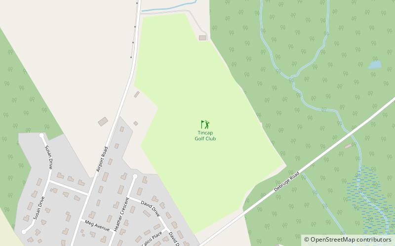
Tincap Golf Club (address: 4551 Airport Road) is a place located in Brockville (Ontario province) and belongs to the category of golf.
It is situated at an altitude of 390 feet, and its geographical coordinates are 44°37'30"N latitude and 75°45'1"W longitude.
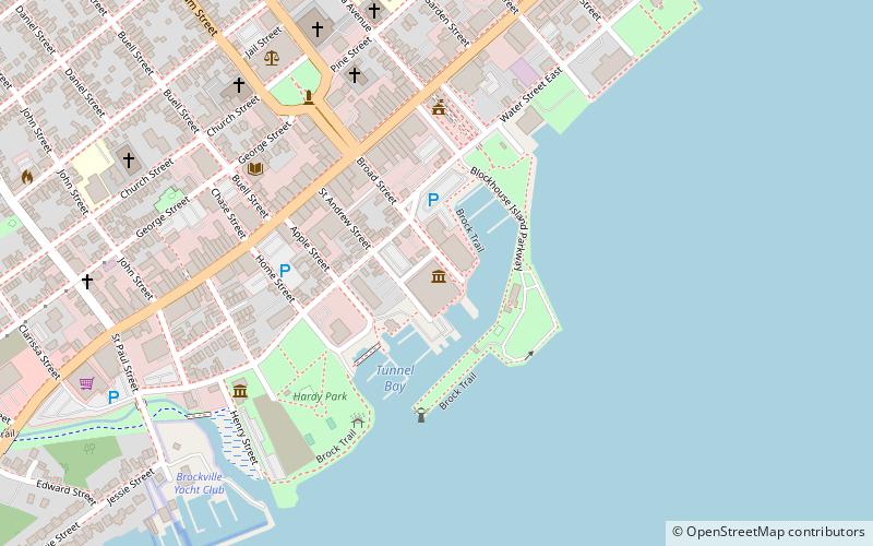
Among other places and attractions worth visiting in the area are: Wall Street United Church (church, 101 min walk), Brockville City Hall (architecture, 105 min walk), Brockville Arts Centre (museum, 105 min walk).
Coordinates: 44°37'30"N, 75°45'1"W
Address
4551 Airport RoadBrockville
ContactAdd
Social media
Add
Day trips
Tincap Golf Club – popular in the area (distance from the attraction)
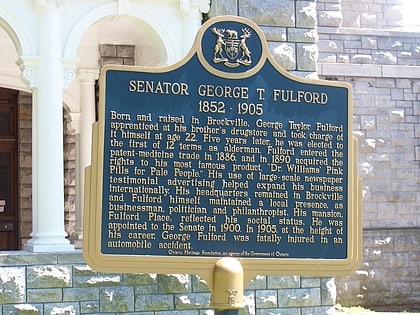
Nearby attractions include: Brockville Ontario Speedway, Fulford Place, Aquatarium, Brockville City Hall.


