Mackay Street, Montreal

Gallery (2)
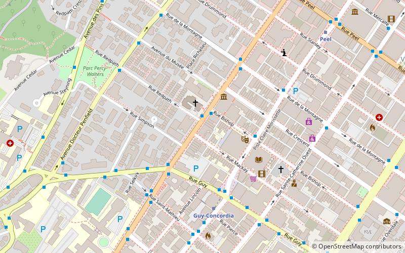
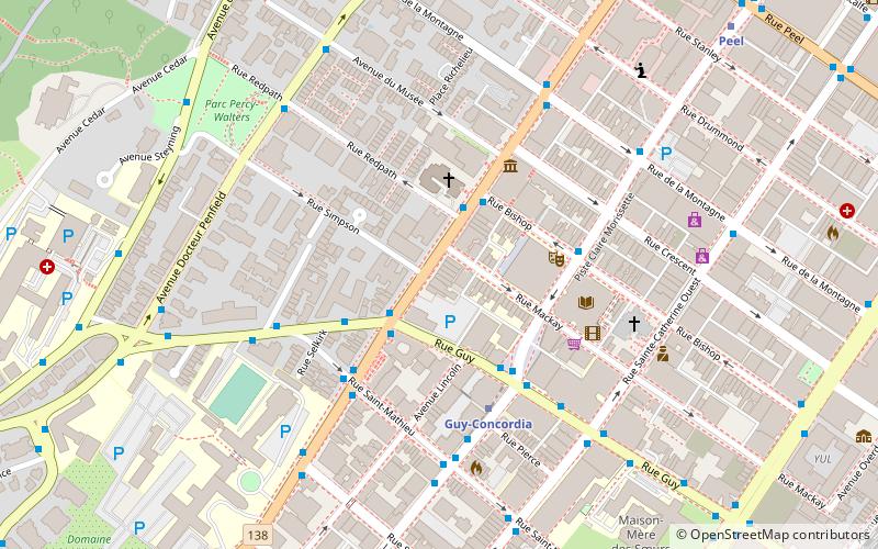
Map


Map
Gallery
Facts and practical information
Mackay Street is a street located in downtown Montreal, Quebec, Canada. Mackay Street is a one-way street, that begins at Sherbrooke Street West, travels southbound and ends at Overdale Avenue, just south of René Lévesque Boulevard. ()
Coordinates: 45°29'45"N, 73°34'38"W
Address
Ville-Marie District (Quartier Ville-Marie)Montreal
ContactAdd
Social media
Add
Getting there by public transportation
Public transportation stops near this location
- Metro
- Bus
- Train
 Metro
Metro
- Calculate routeGuy / Sainte-Catherine 2 min walk
- Calculate routeSainte-Catherine / Guy 2 min walk
- Calculate routeDe Maisonneuve / Bishop 4 min walk
- Calculate routeStation Guy-Concordia 4 min walk
- Calculate routeGuy-Concordia 4 min walk
- Calculate routeLucien L'Allier 8 min walk
- Calculate routePeel 9 min walk
- Calculate routeGeorges-Vanier 13 min walk
- Calculate routeLucien-L'Allier 8 min walk
- Calculate routeMontreal Central Station 15 min walk
Maps Metro
Metro
MetroDay trips
Mackay Street – popular in the area (distance from the attraction)
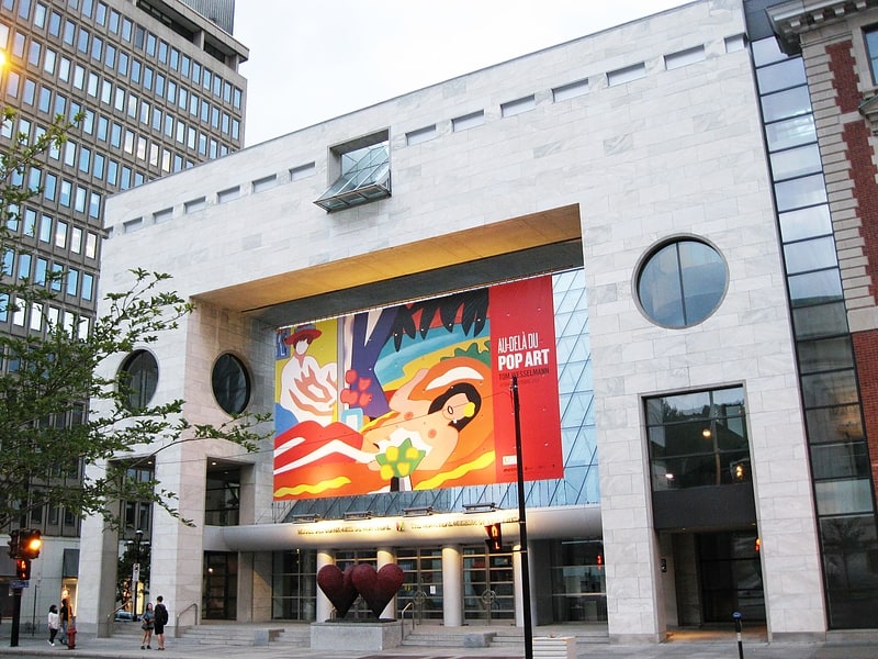
Nearby attractions include: Montreal Museum of Fine Arts, Ogilvy, Norman Bethune Square, The Church of St. Andrew and St. Paul.


Frequently Asked Questions (FAQ)
Which popular attractions are close to Mackay Street?
Nearby attractions include Quartier Concordia, Montreal (1 min walk), St Jax Montréal, Montreal (2 min walk), Tim Hortons, Montreal (2 min walk), Bishop Street, Montreal (2 min walk).
How to get to Mackay Street by public transport?
The nearest stations to Mackay Street:
Bus
Metro
Train
Bus
- Guy / Sainte-Catherine • Lines: 166-S, 427-O, 57-E, 57-O (2 min walk)
- Sainte-Catherine / Guy • Lines: 15-E (2 min walk)
Metro
- Guy-Concordia • Lines: 1 (4 min walk)
- Lucien L'Allier • Lines: 2 (8 min walk)
Train
- Lucien-L'Allier (8 min walk)
- Montreal Central Station (15 min walk)