Stamp River Provincial Park
Map

Map

Facts and practical information
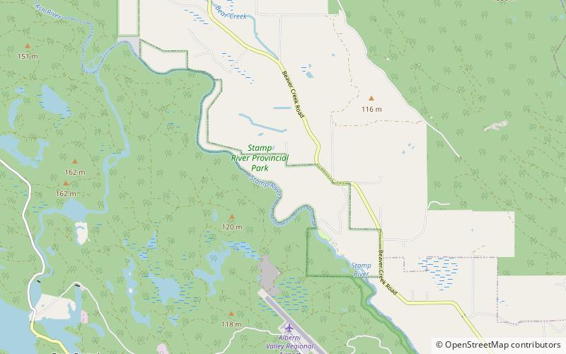
Stamp River Provincial Park is a provincial park in British Columbia, Canada. The 327-hectare park is located 14 km north of Port Alberni on Vancouver Island. There are 23 camping spaces and 2 km of trails within the park along the Stamp River, named for Edward Stamp, a sawmill pioneer in the Alberni Valley. ()
Area: 1.26 mi²Elevation: 292 ft a.s.l.Coordinates: 49°20'42"N, 124°55'59"W
Day trips
Stamp River Provincial Park – popular in the area (distance from the attraction)
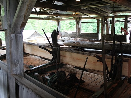
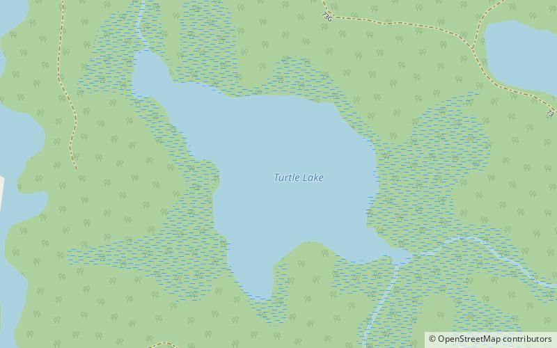
Nearby attractions include: McLean Mill National Historic Site, Sproat Lake, McCoy Lake, Turtle Lake.


