Kalamalka Lake
Map

Map

Facts and practical information
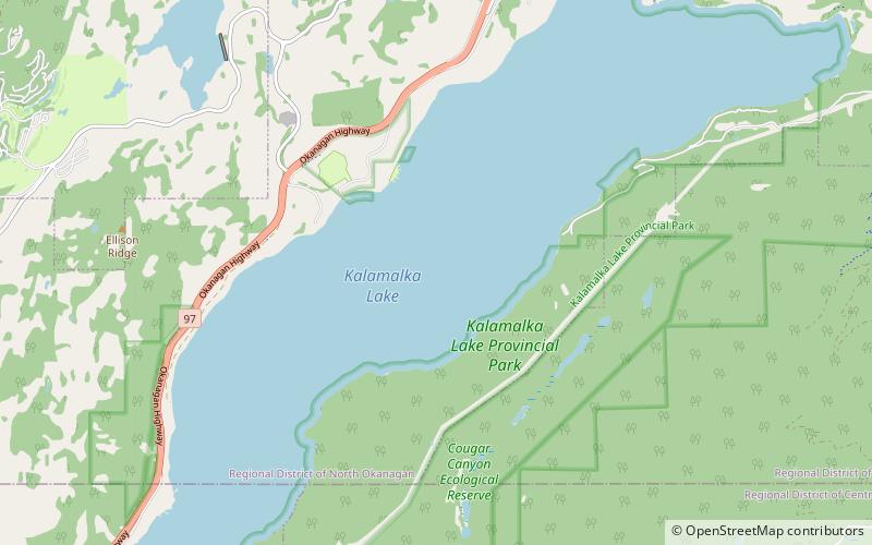
Kalamalka Lake is a large lake in the interior plateau of southern central British Columbia, Canada, east of Okanagan Lake. The lake is located approximately 4 kilometres south of the city of Vernon and is its main drinking water supply. The lake is named after the Okanagan First Nation chief who occupied its northern shores. ()
Alternative names: Area: 9.92 mi²Length: 9.94 miWidth: 9843 ftMaximum depth: 466 ftElevation: 1286 ft a.s.l.Coordinates: 50°10'22"N, 119°19'37"W
Location
British Columbia
ContactAdd
Social media
Add
Day trips
Kalamalka Lake – popular in the area (distance from the attraction)
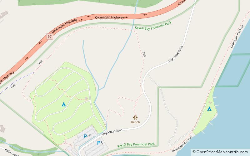
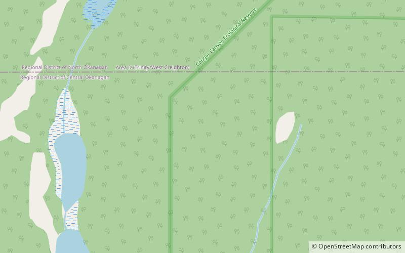
Nearby attractions include: Kekuli Bay Provincial Park, Hillview Golf Vernon, Cougar Canyon, Ellison Provincial Park.


