The Cabox

Gallery (1)
Map
Map
Facts and practical information
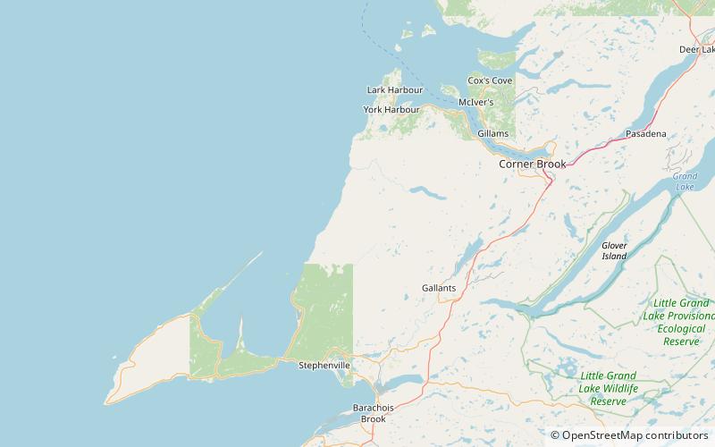
The Cabox is the highest mountain on the island of Newfoundland, located on the western part of the island near the coastal town of Stephenville. It is 812 m high and is the central peak of the Lewis Hills of the Long Range Mountains, which are a subrange in the Appalachian Mountains. ()
Location
Newfoundland and Labrador
ContactAdd
Social media
Add