Rondeau Provincial Park
Map

Map

Facts and practical information
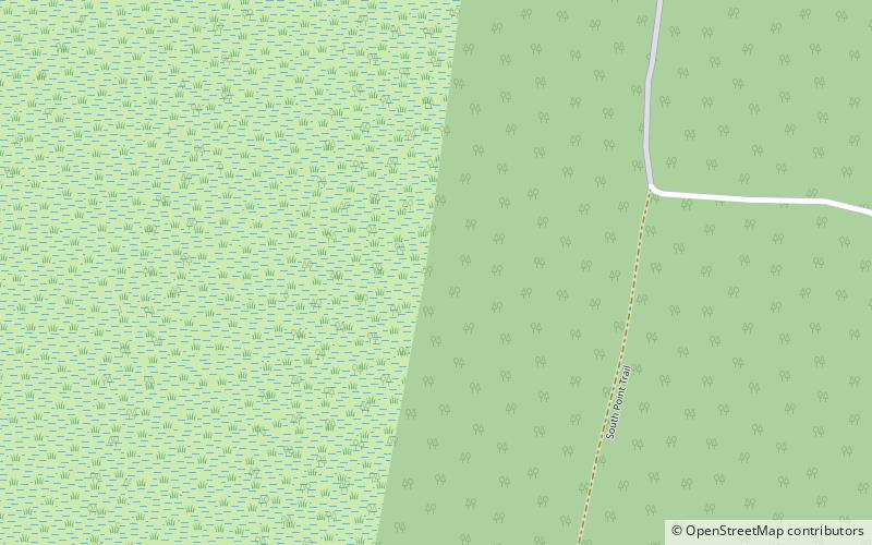
Rondeau Provincial Park is the second oldest provincial park in Ontario, Canada, having been established with an order in council on 8 September 1894. The park is located in Southwestern Ontario, on an 8 km long crescentic sand spit extending into Lake Erie. Rondeau is home to the largest area of Carolinian forest in Canada, a long sand beach, a large marsh, approximately half of Rondeau Bay, campgrounds and a cottage community. The name of the park comes from the French words "ronde eau" or "round water" which describes the shape of the harbour sheltered by the peninsula. ()
Alternative names: Established: 1894 (132 years ago)Area: 12.56 mi²Elevation: 574 ft a.s.l.Coordinates: 42°16'50"N, 81°51'31"W
Location
Ontario
ContactAdd
Social media
Add
