Victoria Peak
Map

Map

Facts and practical information
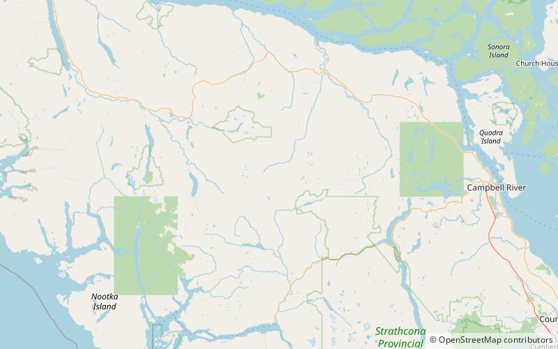
Victoria Peak is a mountain located in the Sutton Range of the Vancouver Island Ranges. At 2163 m, it is the third highest peak on Vancouver Island. The mountain is located on the White River valley and has mountains of comparable elevation nearby. It is accessible as a day trip by logging road and is visible from Campbell River and the Discovery Islands. ()
First ascent: 1950Elevation: 7096 ftProminence: 6066 ftCoordinates: 50°3'17"N, 126°5'60"W
Location
British Columbia
ContactAdd
Social media
Add
