Calabogie Lake
Map

Map

Facts and practical information
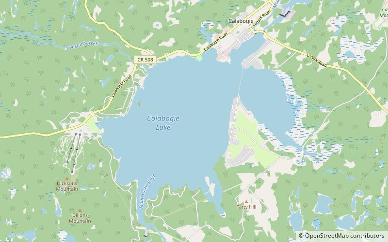
Calabogie Lake is a reservoir lake in the municipality of Greater Madawaska, Renfrew County in Eastern Ontario, Canada. It is on the Madawaska River system, is part of the Saint Lawrence River drainage basin, and is located in the geographic townships of Bagot Township and Blythfield Township. ()
Length: 4.04 miWidth: 2.49 miElevation: 509 ft a.s.l.Coordinates: 45°16'38"N, 76°44'33"W
Location
Ontario
ContactAdd
Social media
Add
Day trips
Calabogie Lake – popular in the area (distance from the attraction)
Nearby attractions include: Calabogie Peaks, Calabogie Motorsports Park.


