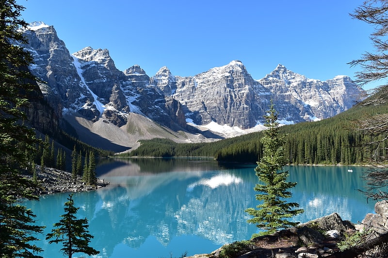
Neptuak Mountain, Yoho National Park

Gallery (1)
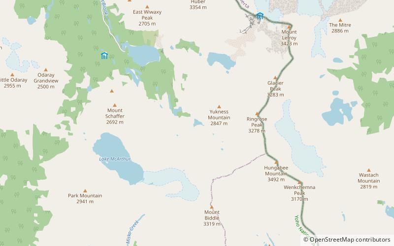
Map
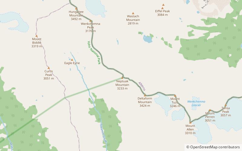
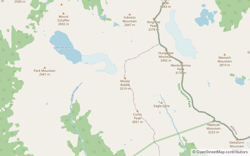
Map
Facts and practical information
Neptuak Mountain was named by Samuel E.S. Allen in 1894. "Neptuak" is the Stoney Indian word for "nine" as Neptuak Mountain is peak #9 in the Valley of the Ten Peaks. It is located on the Continental Divide, which is also the British Columbia-Alberta border in this region, and is in the Bow Range of the Park Ranges of the Canadian Rockies. The summit is a tripoint for Banff National Park, Kootenay National Park, and Yoho National Park, where the three parks share a common border. ()
Alternative names: First ascent: 1902Elevation: 10633 ftProminence: 495 ftCoordinates: 51°18'30"N, 116°15'32"W
Address
Yoho National Park
ContactAdd
Social media
Add
Day trips