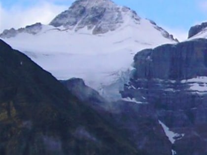
Mount Fay, Kootenay National Park
Map
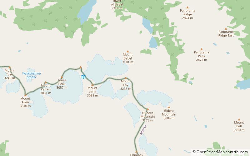
Map

Facts and practical information
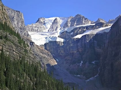
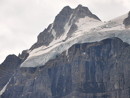
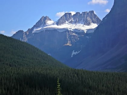
Mount Fay is a mountain located on the border of Alberta and British Columbia on the Continental Divide in the Canadian Rockies. The mountain forms part of the backdrop to Moraine Lake in the Valley of the Ten Peaks of Banff National Park. It was named in 1902 by Charles E. Fay, an early explorer of the Canadian Rockies. He was a member of the party who attempted Mount Lefroy in 1896 when the first mountaineer to be killed in the Canadian Rockies occurred. ()
Alternative names: First ascent: 1904Elevation: 10614 ftProminence: 1276 ftCoordinates: 51°17'51"N, 116°9'54"W
Address
Kootenay National Park
ContactAdd
Social media
Add
Day trips
Mount Fay – popular in the area (distance from the attraction)
Nearby attractions include: Bident Mountain, Quadra Mountain, Mount Bowlen, Mount Little.
Frequently Asked Questions (FAQ)
Which popular attractions are close to Mount Fay?
Nearby attractions include Mount Babel, Banff National Park (16 min walk), Mount Babel, Banff National Park (17 min walk), Mount Little, Kootenay National Park (21 min walk), Quadra Mountain, Banff National Park (24 min walk).
