Wenkchemna Peak, Yoho National Park

Gallery (1)
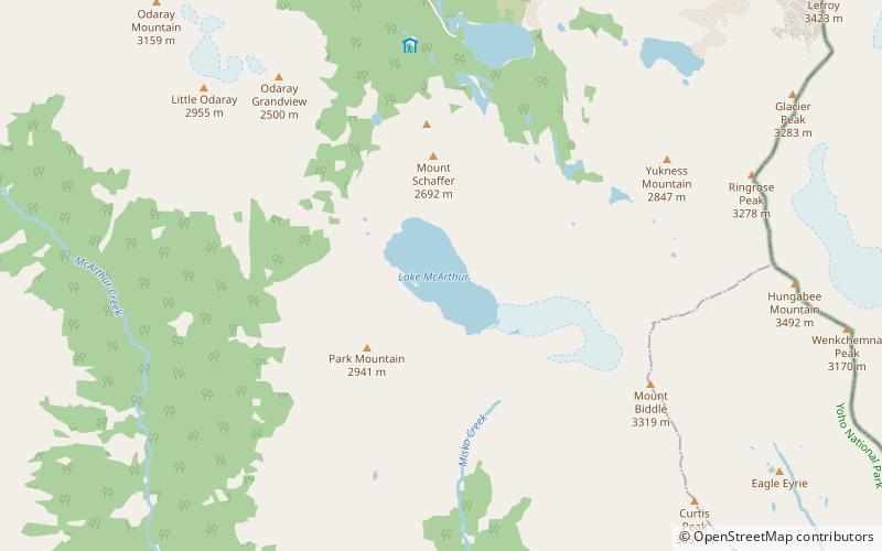
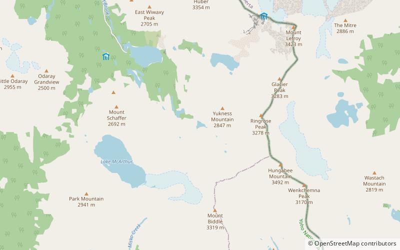
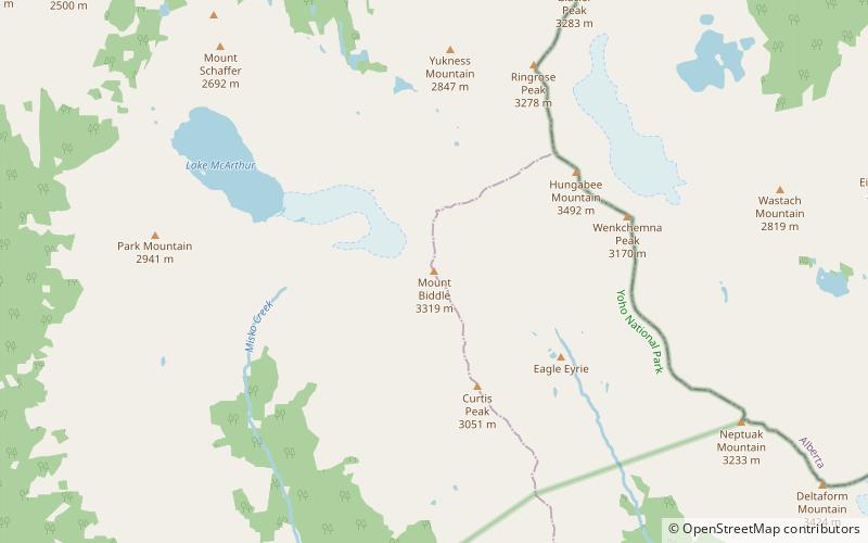
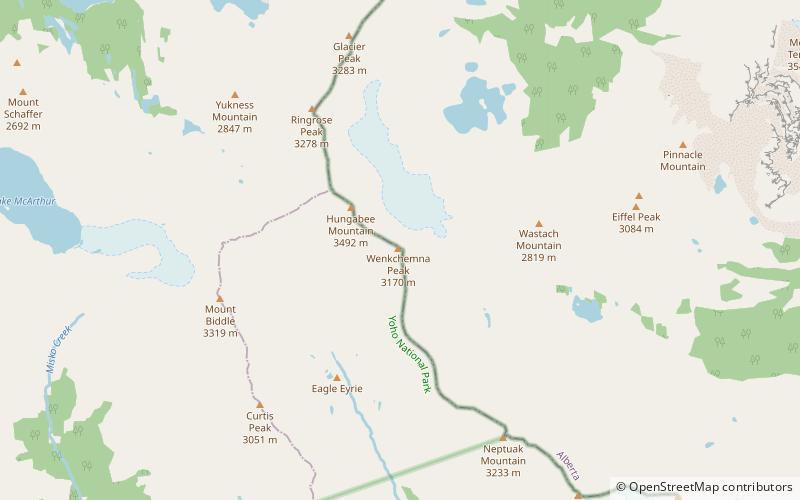
Map
Map
Facts and practical information
Wenkchemna Peak is located on the border of Alberta and British Columbia. It was named in 1894 by Samuel E. S. Allen. ()
First ascent: 1923Elevation: 10518 ftProminence: 52 ftCoordinates: 51°19'40"N, 116°16'34"W
Address
Yoho National Park
ContactAdd
Social media
Add
Day trips