Bingley Peak, Mount Robson Provincial Park
Map
Facts and practical information
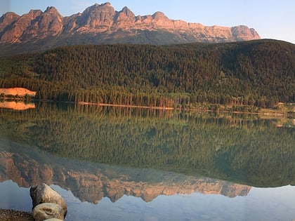
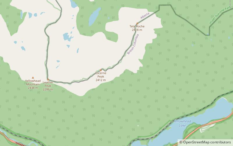
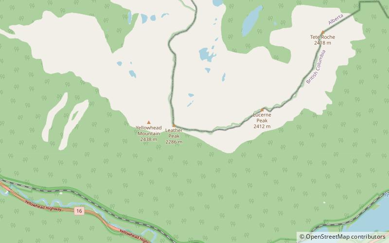
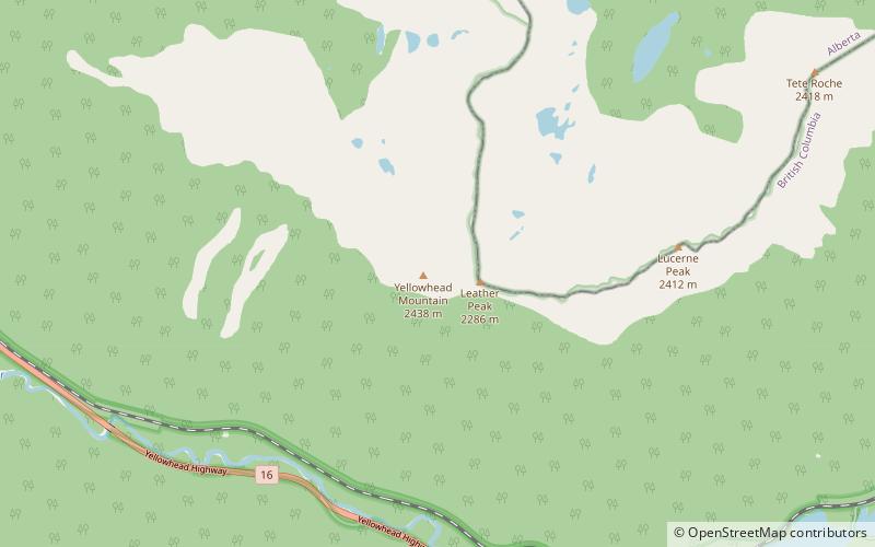
Bingley Peak is located on the border of Alberta and British Columbia. It was named in 1863 by Walter Cheadle. ()
Elevation: 7999 ftCoordinates: 52°52'55"N, 118°37'19"W
Address
Mount Robson Provincial Park
ContactAdd
Social media
Add
Day trips
Bingley Peak – popular in the area (distance from the attraction)
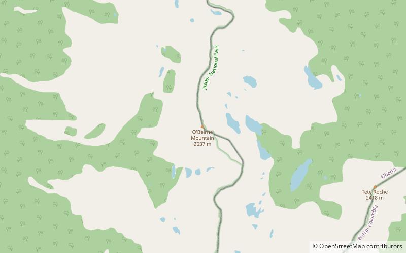
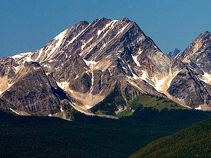
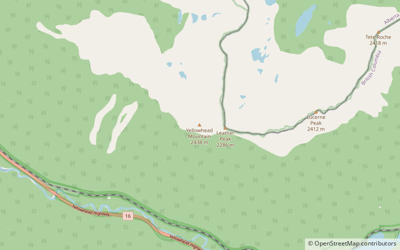
Nearby attractions include: Yellowhead Lake, Mount O'Beirne, Caledonia Mountain, Yellowhead Mountain.
Frequently Asked Questions (FAQ)
Which popular attractions are close to Bingley Peak?
Nearby attractions include Yellowhead Mountain, Mount Robson Provincial Park (3 min walk), Leather Peak, Jasper National Park (15 min walk).
