Atherley Narrows Swing Bridge
Gallery (1)
Map
Map
Facts and practical information
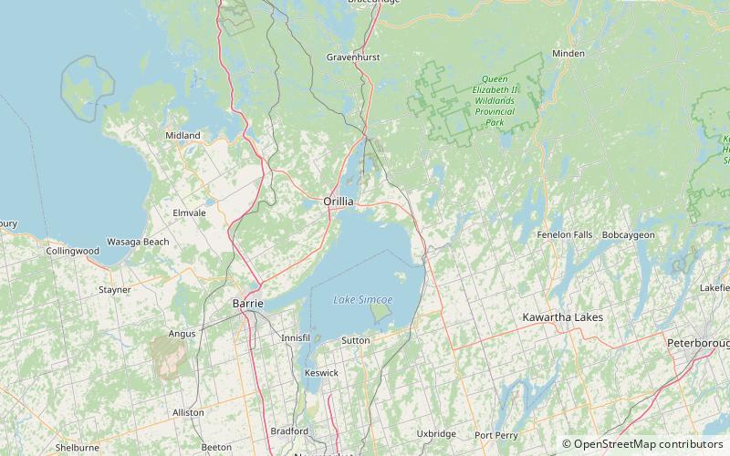
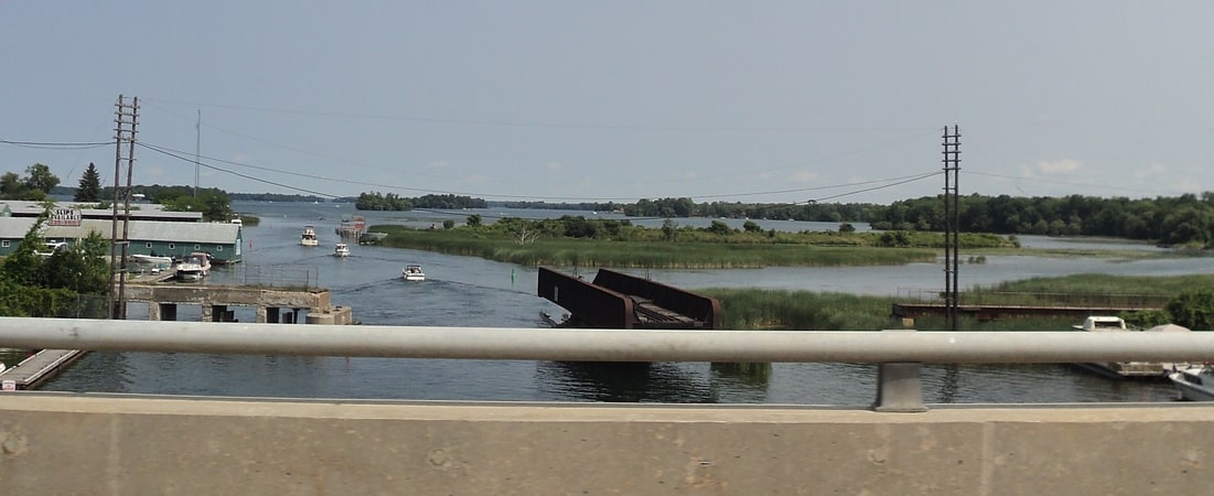
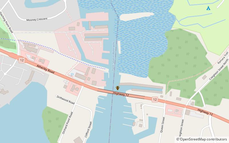
The Atherley Narrows Swing Bridge is a Canadian National rail bridge located at the confluence of Lake Simcoe and Lake Couchiching at the Atherley Narrows, near Orillia, Ontario. ()
Coordinates: 44°36'18"N, 79°22'11"W
Location
Ontario
ContactAdd
Social media
Add
Day trips