Beban Park Golf Course & Driving Range, Nanaimo
Map
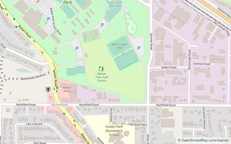
Map

Facts and practical information
Beban Park Golf Course & Driving Range (address: 2280 Bowen Road) is a place located in Nanaimo (British Columbia province) and belongs to the category of golf.
It is situated at an altitude of 371 feet, and its geographical coordinates are 49°11'37"N latitude and 123°59'17"W longitude.
Among other places and attractions worth visiting in the area are: Frank Crane Arena (sport, 9 min walk), Buttertubs Marsh (area, 44 min walk), Vancouver Island University (universities and schools, 69 min walk).
Coordinates: 49°11'37"N, 123°59'17"W
Day trips
Beban Park Golf Course & Driving Range – popular in the area (distance from the attraction)
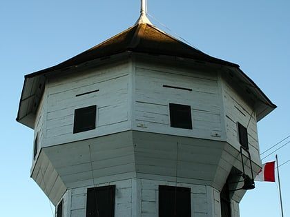
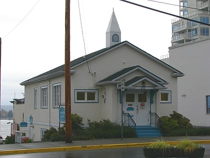
Nearby attractions include: Woodgrove Centre, Nanaimo Bastion, Port Place Shopping Centre, Christian Science Society.


