Seal Island Bridge
Map
![Seal Island Bridge location map](https://tzmedia.b-cdn.net/media/images/static-maps/ca/46_2341_-60_4924.jpg)
Gallery
![Seal Island Bridge](https://tzmedia.b-cdn.net/media/images/ca/place/gallery/medium/4cfc1184012194a4d7b13d3af6764f08.jpg)
Facts and practical information
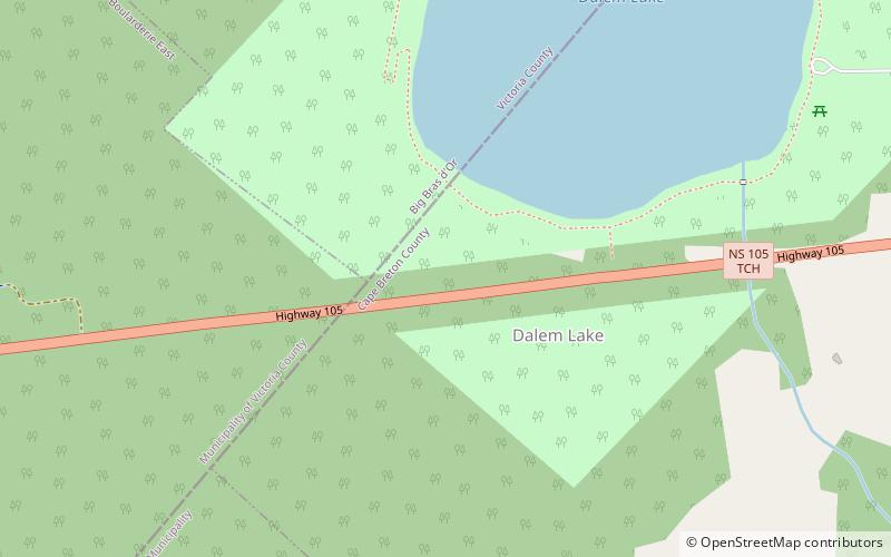
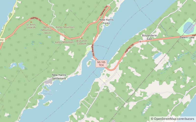
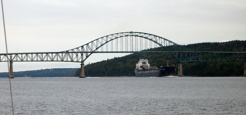
The Seal Island Bridge is a bridge located in Victoria County, Nova Scotia. It is the third longest bridge span in the province. ()
Opened: 1961 (64 years ago)Length: 2350 ftCoordinates: 46°14'3"N, 60°29'33"W
Day trips
Seal Island Bridge – popular in the area (distance from the attraction)
Nearby attractions include: The Gaelic College, Fort Sainte Anne, Kellys Mountain, Dalem Lake Provincial Park.