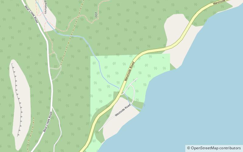
Raymer Bay Regional Park, West Kelowna

Gallery (1)
Map
Map
Facts and practical information
Raymer Bay Regional Park (address: 107 Westside Rd) is a place located in West Kelowna (British Columbia province) and belongs to the category of park, relax in park.
It is situated at an altitude of 1296 feet, and its geographical coordinates are 49°55'4"N latitude and 119°32'2"W longitude.
Among other places and attractions worth visiting in the area are: Bear Creek Provincial Park (park, 26 min walk), Okanagan Lake, Kelowna (nature, 28 min walk), Skye at Waterscapes, Kelowna (skyscraper, 57 min walk).
Elevation: 1296 ft a.s.l.Coordinates: 49°55'4"N, 119°32'2"W
Day trips