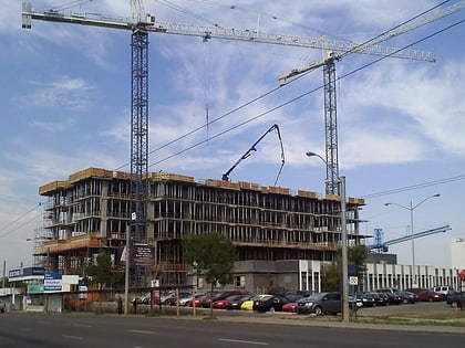
Spruce Avenue, Edmonton
Map
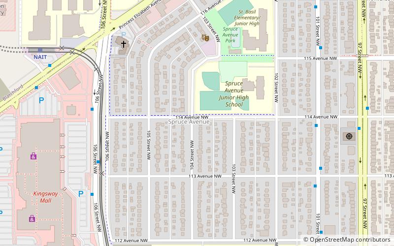
Map

Facts and practical information
Spruce Avenue is an irregular shaped residential neighbourhood in Edmonton, Alberta, Canada. The neighbourhood is home to Kingsway Mall, the Glenrose Rehabilitation Hospital, the Northern Alberta Institute of Technology, the Norwood Extended Care Hospital, Spruce Avenue Community Center, Spruce Avenue Junior High School, and St. Basil Catholic Junior High School. The neighbourhood takes its name from the former designation of 114 Avenue. ()
Area: 0.47 mi²Coordinates: 53°33'51"N, 113°29'56"W
Day trips
Spruce Avenue – popular in the area (distance from the attraction)
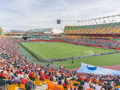
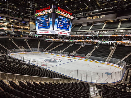
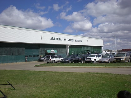
Nearby attractions include: Kingsway Mall, Commonwealth Stadium, Rogers Place, Alberta Aviation Museum.
Frequently Asked Questions (FAQ)
Which popular attractions are close to Spruce Avenue?
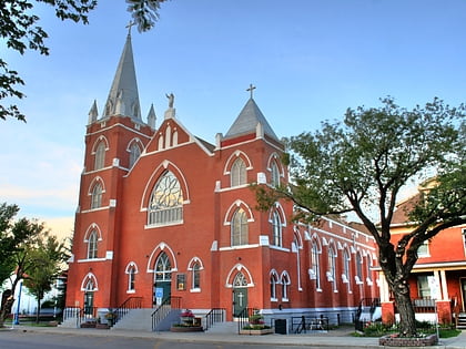
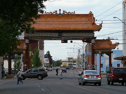
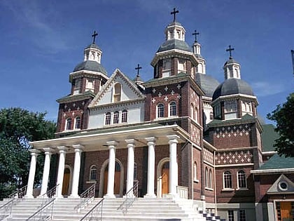
Nearby attractions include Ukrainian Museum of Canada, Edmonton (15 min walk), McCauley, Edmonton (15 min walk), St. John Cathedral, Edmonton (16 min walk), Alberta Avenue, Edmonton (17 min walk).
How to get to Spruce Avenue by public transport?
The nearest stations to Spruce Avenue:
Bus
Light rail
Bus
- 109 Street & Princess Elizabeth Ave • Lines: 560 (8 min walk)
- 106 Street & 117 Ave • Lines: 202, 560 (8 min walk)
Light rail
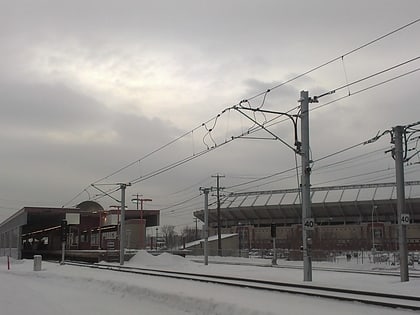
- Nait • Lines: 502 (8 min walk)
- Kingsway/Royal Alex • Lines: 502 (12 min walk)


