Chateauguay Valley

Map
Facts and practical information
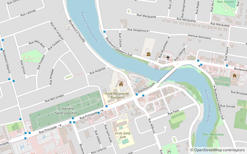
The Chateauguay Valley is an area of southwestern Quebec Canada, roughly encompassing the drainage basin of the Chateauguay River which flows from the Adirondack Mountains in northern New York state and joins the Saint Lawrence River near Montreal, Quebec. ()
Coordinates: 45°21'40"N, 73°45'0"W
Location
Québec
ContactAdd
Social media
Add
Day trips
Chateauguay Valley – popular in the area (distance from the attraction)
Nearby attractions include: Stewart Hall, The Fur Trade at Lachine National Historic Site, Musée de Lachine, René Lévesque Park.


