Powerscourt Covered Bridge

Gallery (1)
Map
Map
Facts and practical information
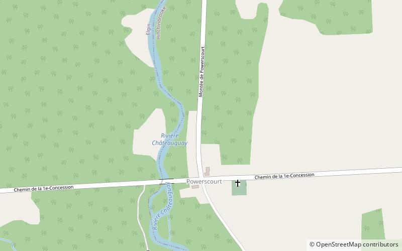
The Powerscourt Covered Bridge is a covered bridge that takes the First Concession Road across the Chateauguay River in Hinchinbrooke, Quebec. It is also known as the Percy Bridge. ()
Opened: 1861 (165 years ago)Length: 167 ftWidth: 20 ftHeight: 26 ftCoordinates: 45°0'31"N, 74°9'34"W
Location
Québec
ContactAdd
Social media
Add
Day trips
Powerscourt Covered Bridge – popular in the area (distance from the attraction)
Nearby attractions include: Grove Hall.
