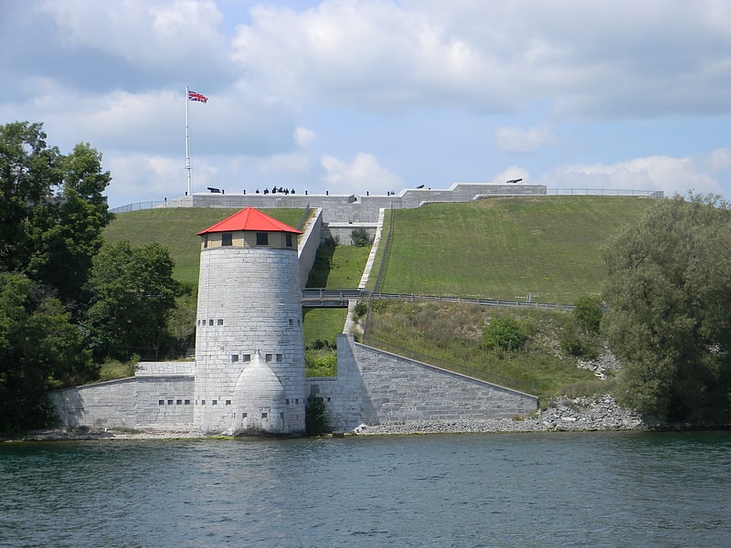
Kingston Mills, Kingston

Gallery (1)
Map
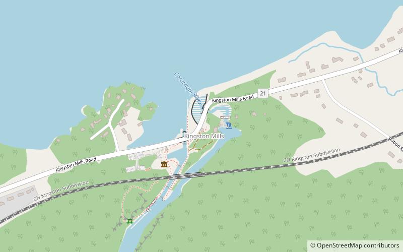
Map
Facts and practical information
Kingston Mills, located approximately 7 kilometres north of downtown Kingston, Ontario, is the southernmost lockstation and one of 24 lockstations of the Rideau Canal system. Kingston Mills is a component of the Rideau Canal National Historic Site, and along with the rest of the Rideau Canal, is a World Heritage Site. The site is managed and operated by Parks Canada. ()
Elevation: 279 ft a.s.l.Coordinates: 44°17'36"N, 76°26'28"W
Day trips