Horseshoe Canyon

Gallery (2)
Map
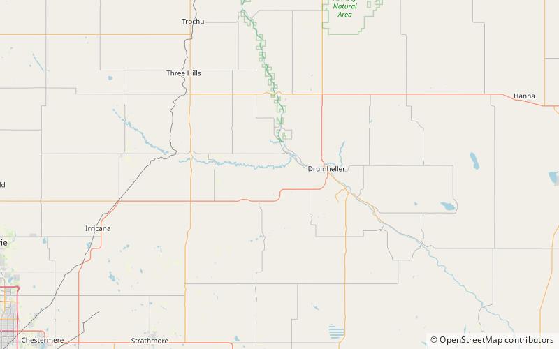
Map
Gallery
Facts and practical information
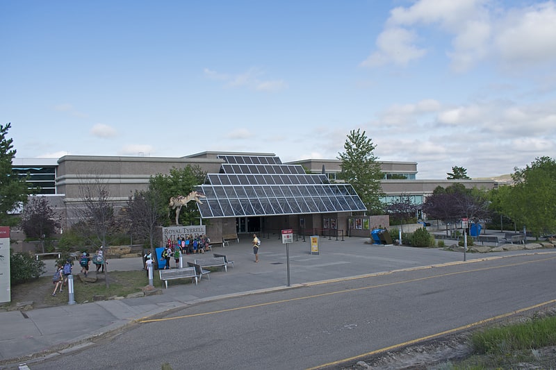
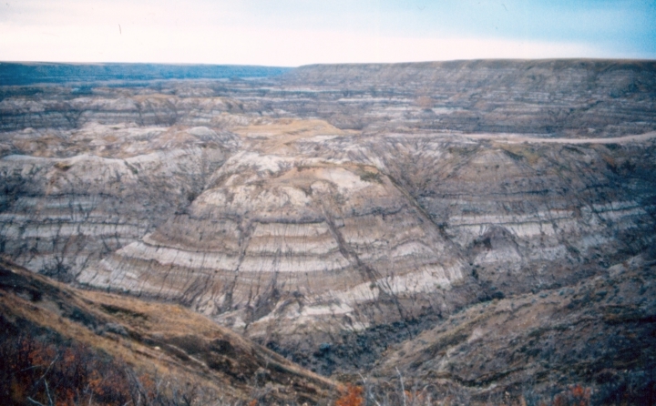
Horseshoe Canyon is a region of badlands surrounded by prairie in the province of Alberta, Canada. It is located about 17 km west of the town of Drumheller, Alberta, along Highway 9. ()
Coordinates: 51°27'9"N, 112°53'28"W
Location
Alberta
ContactAdd
Social media
Add
Day trips