Snowpatch Spire

Gallery (1)
Map
Map
Facts and practical information
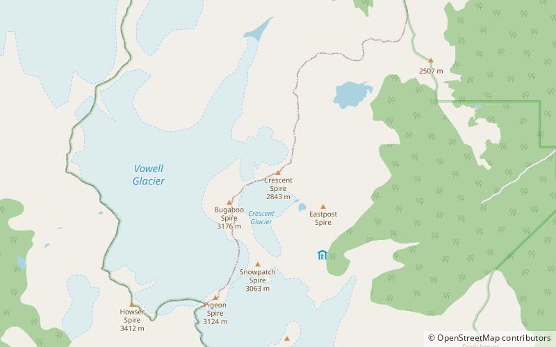
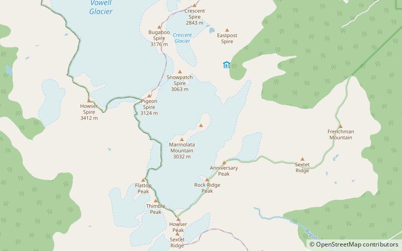
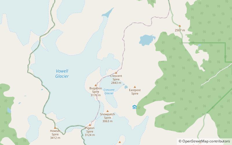
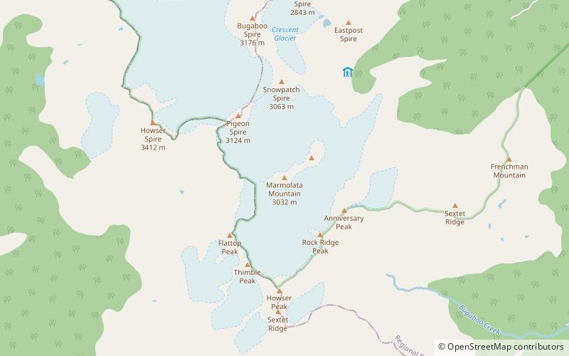
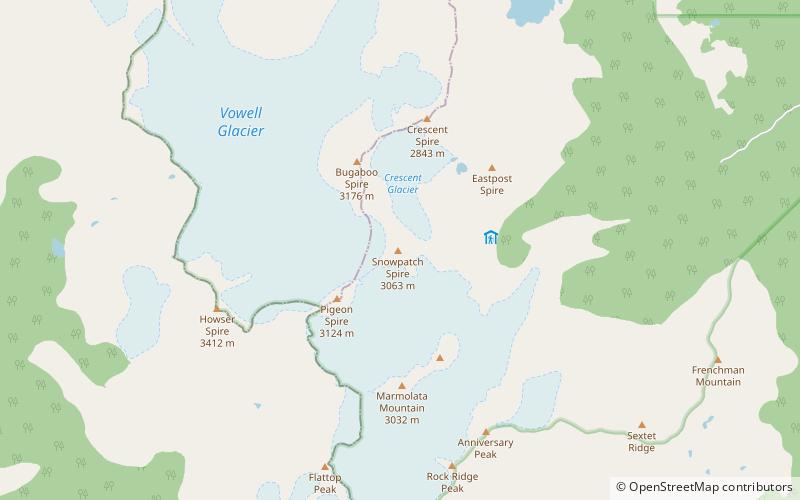
Snowpatch Spire is a mountain peak in British Columbia, Canada. With its first ascent in 1940, it was the last of the Bugaboo Spires to be climbed. It is located southwest of the Conrad Kain hut, across the Crescent Glacier. ()
First ascent: 1940Elevation: 10118 ftProminence: 932 ftCoordinates: 50°44'10"N, 116°46'55"W
Location
British Columbia
ContactAdd
Social media
Add
Day trips