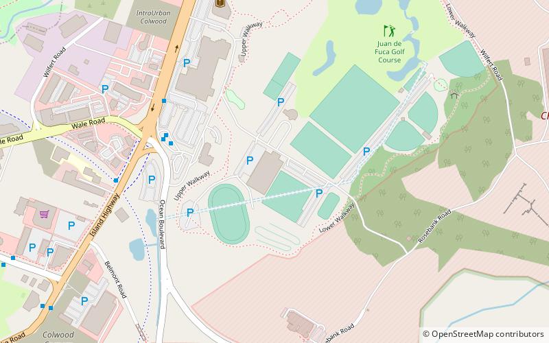
Westshore Velodrome, Victoria
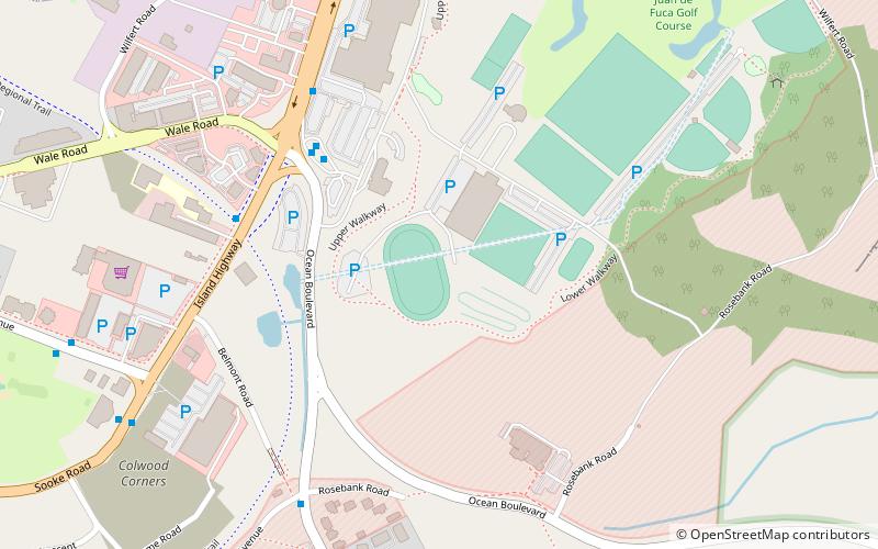
Map
Facts and practical information
The Westshore Velodrome is a 333m outdoor bicycle racing track located in Colwood, B.C. and one of only two velodromes in British Columbia. It is part of the Juan de Fuca Recreation Centre, and is operated by the Greater Victoria Velodrome Association. The GVVA was founded in 1991. The velodrome was commissioned for the 1994 Commonwealth Games, and constructed for approximately $2 million. The track was designed to be used by the public after the Games, which is why the banking in the corners is less than might be found on tracks primarily intended for competition. ()
Opened: 1994 (32 years ago)Coordinates: 48°26'37"N, 123°27'50"W
Getting there by public transportation
Public transportation stops near this location
- Bus
- Train
 Bus
Bus
- Calculate routeColwood Exchange Bay A 4 min walk
- Calculate routeColwood Transit Exchange 4 min walk
- Calculate routeColwood Exchange Bay F 5 min walk
- Calculate routeColwood Exchange Bay E 6 min walk
- Calculate routePalmer 39 min walk
Day trips


Frequently Asked Questions (FAQ)
Which popular attractions are close to Westshore Velodrome?
Nearby attractions include WildPlay Victoria, Victoria (3 min walk), Fort Rodd Hill National Historic Site, Victoria (24 min walk).
How to get to Westshore Velodrome by public transport?
The nearest stations to Westshore Velodrome:
Bus
Train
Bus
- Colwood Exchange Bay A • Lines: 52 (4 min walk)
- Colwood Transit Exchange (4 min walk)
Train
- Palmer (39 min walk)