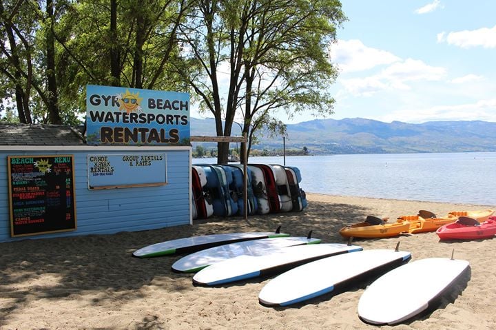
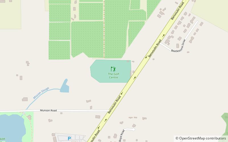
Golf Centre Driving Range, Kelowna

Gallery (1)
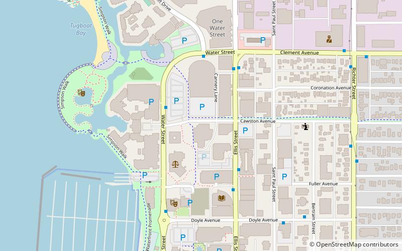
Map
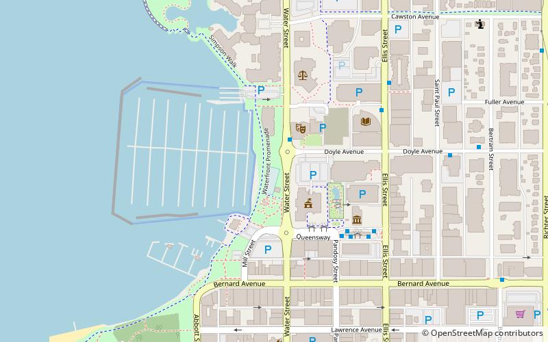
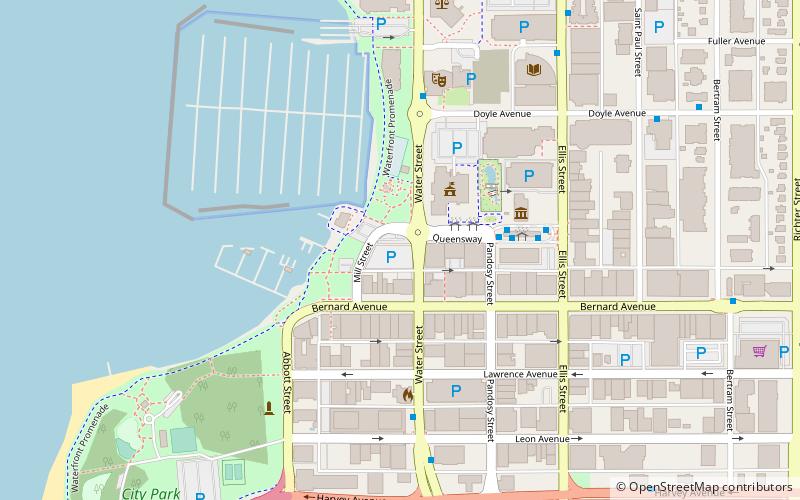
Map
Facts and practical information
Golf Centre Driving Range is a place located in Kelowna (British Columbia province) and belongs to the category of golf.
It is situated at an altitude of 1165 feet, and its geographical coordinates are 49°52'0"N latitude and 119°27'7"W longitude.
Among other places and attractions worth visiting in the area are: Orchard Park Mall (shopping, 27 min walk), Benvoulin (neighbourhood, 34 min walk), Okanagan College (universities and schools, 34 min walk).
Coordinates: 49°52'0"N, 119°27'7"W
Address
South Pandosy - K.L.O. (Munson)Kelowna
ContactAdd
Social media
Add
Day trips