Marble Canyon

Gallery (1)
Map
Map
Facts and practical information
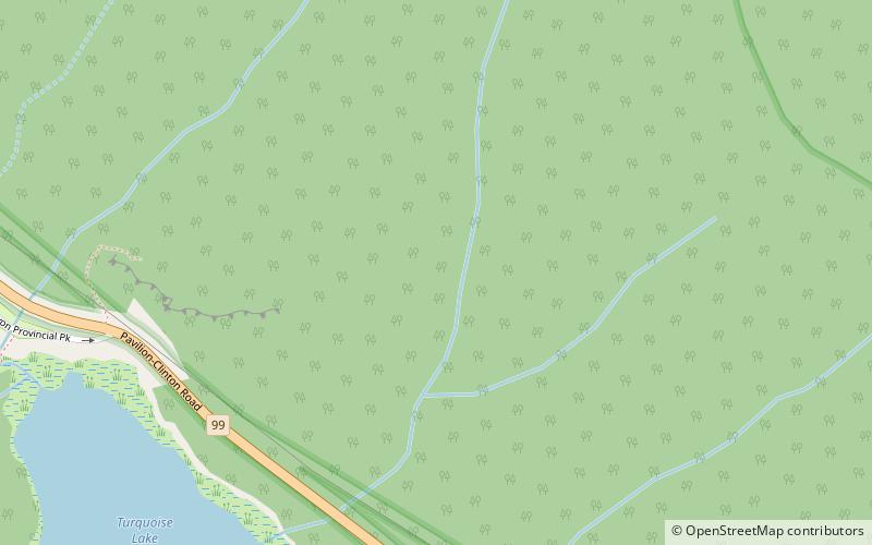
Marble Canyon is in the south-central Interior of British Columbia, a few kilometres east of the Fraser River and the community of Pavilion, midway between the towns of Lillooet and Cache Creek. The canyon stems from a collapsed karst formation. ()
Coordinates: 50°49'60"N, 121°40'59"W
Location
British Columbia
ContactAdd
Social media
Add
Day trips

