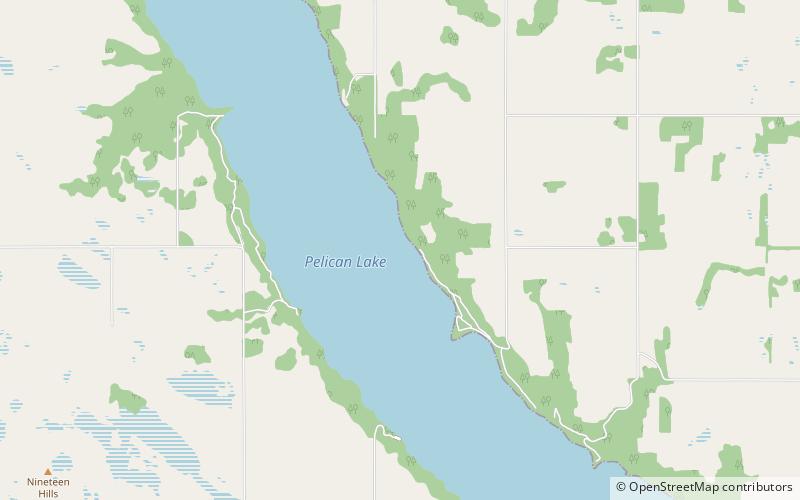
Pelican Lake
Map

Map

Facts and practical information
Pelican Lake is the largest navigable lake in south western Manitoba, Canada. It is about 18 kilometres long and 1.6 kilometres wide, with a surface area of 27.8 square kilometres. Pelican Lake is relatively shallow with a mean depth of 3.8 metres and a maximum of 5.2 metres and holds 108 billion litres when the lake is at a surface water level of 412.0 metres. The lake is regulated, with a normal summer target level of 412.0 metres. The lake is fed by several small waterways, the main one being the Orthez drain. The total drainage area is 686 square kilometres. ()
Alternative names: Area: 10.15 mi²Length: 11 miWidth: 5280 ftMaximum depth: 17 ftElevation: 1352 ft a.s.l.Coordinates: 49°20'25"N, 99°33'31"W
Location
Manitoba
ContactAdd
Social media
Add
