Widgeon Lake

Gallery (1)
Map
Map
Facts and practical information
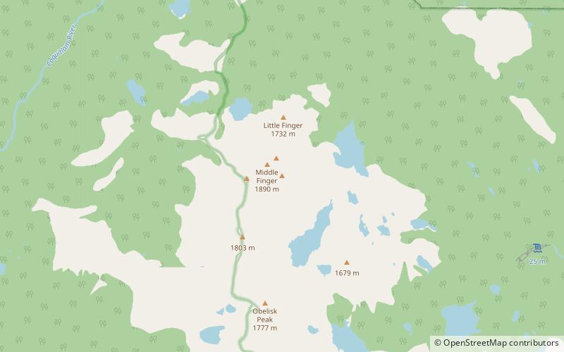
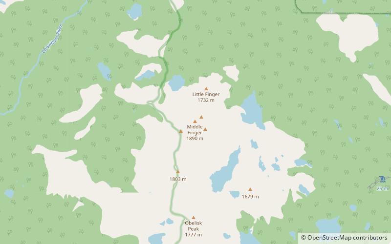
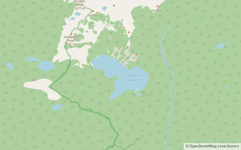
Widgeon Lake is a lake in British Columbia, Canada in Pinecone Burke Provincial park. The area includes a trail that is roughly 25 km long and a stunning glacial lake at the end. The lake is used mainly for hiking, trail running, camping, and canoeing. ()
Elevation: 2552 ft a.s.l.Coordinates: 49°26'51"N, 122°40'12"W
Location
British Columbia
ContactAdd
Social media
Add
Day trips