Mount Pocaterra

Map
Facts and practical information
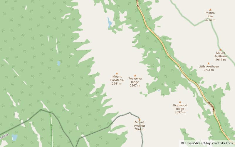
Mount Pocaterra is the unofficial name of a rocky formation named after the Pocaterra Creek in the same region. It is located in the Elk Range in Alberta. This peak is located on the crest of a ridge, about 1.5 km north of the lower Mount Tyrwhitt. The peak is a double summit, with the north summit slightly higher. ()
Elevation: 9649 ftProminence: 1512 ftCoordinates: 50°35'58"N, 115°1'44"W
Location
Alberta
ContactAdd
Social media
Add
Day trips
Mount Pocaterra – popular in the area (distance from the attraction)
Nearby attractions include: Elbow Lake, Elk Lakes cabin, Lower Kananaskis Lake, Highwood Pass.


