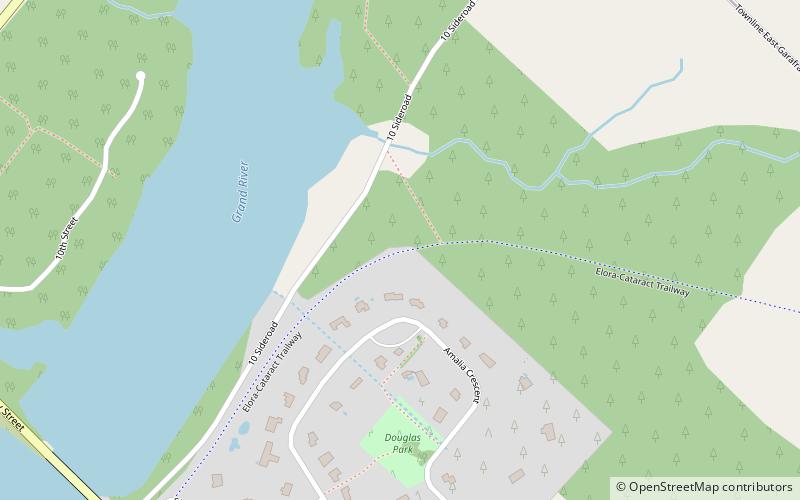
Elora Cataract Trailway
Map

Map

Facts and practical information
The Elora Cataract Trailway is a 47 km-long recreational rail trail between the towns of Elora and Forks of the Credit, in the south of the province of Ontario, Canada. The former Canadian Pacific Railway line operated from about 1880 until 1988. ()
Coordinates: 43°47'38"N, 80°18'37"W
Location
Ontario
ContactAdd
Social media
Add
Day trips
Elora Cataract Trailway – popular in the area (distance from the attraction)
Nearby attractions include: Lake Belwood.

