University District, Kingston
Map
Map

Facts and practical information
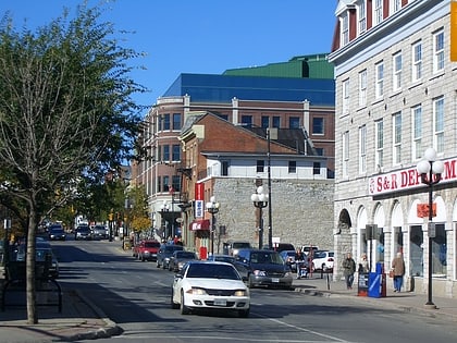
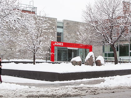
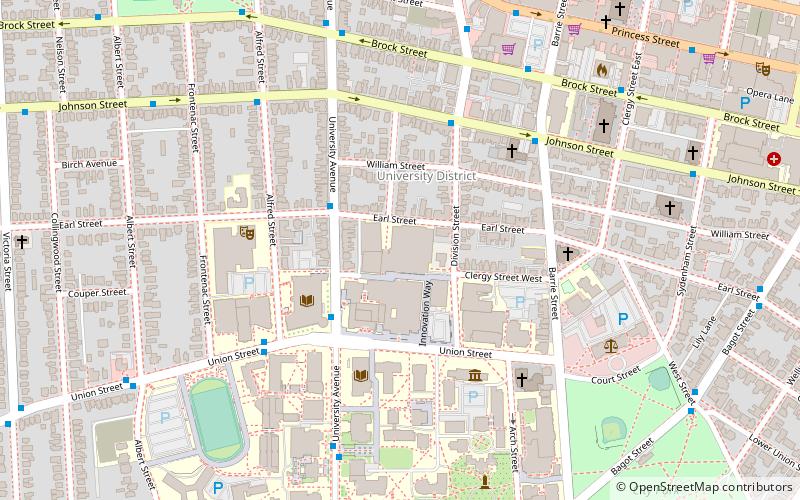
The University District is a neighbourhood in Kingston, Ontario, Canada. It encompasses and surrounds Queen's University and is largely inhabited by students and employees of the University. The area is officially bound by Victoria Street to the west, Princess Street to the north, Division & Barrie Street to the east, and King Street to the south. ()
Coordinates: 44°13'45"N, 76°29'39"W
Address
284 Earl StreetQueensKingston
ContactAdd
Social media
Add
Day trips
University District – popular in the area (distance from the attraction)
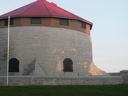
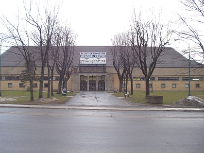
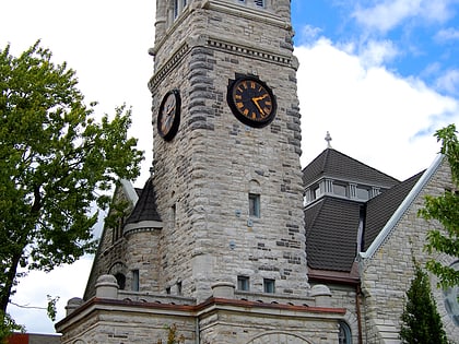
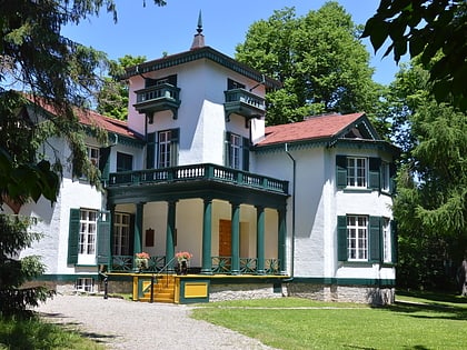
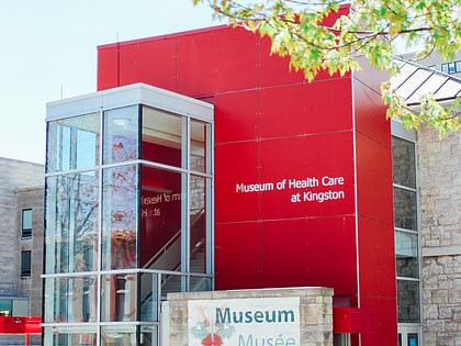
Nearby attractions include: Rogers K-Rock Centre, Murney Tower, Kingston Memorial Centre, St. George's Cathedral.
Frequently Asked Questions (FAQ)
Which popular attractions are close to University District?
Nearby attractions include University District, Kingston (3 min walk), Queen's University, Kingston (3 min walk), Joseph S. Stauffer Library, Kingston (3 min walk), Chalmers United Church, Kingston (4 min walk).


