White Goat Wilderness Area
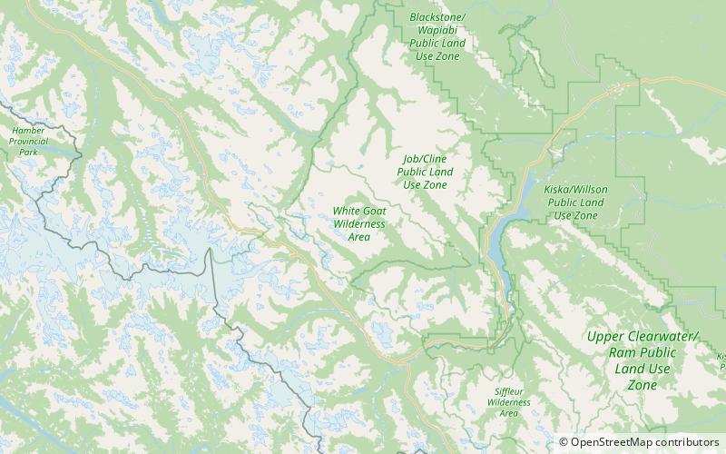
Map

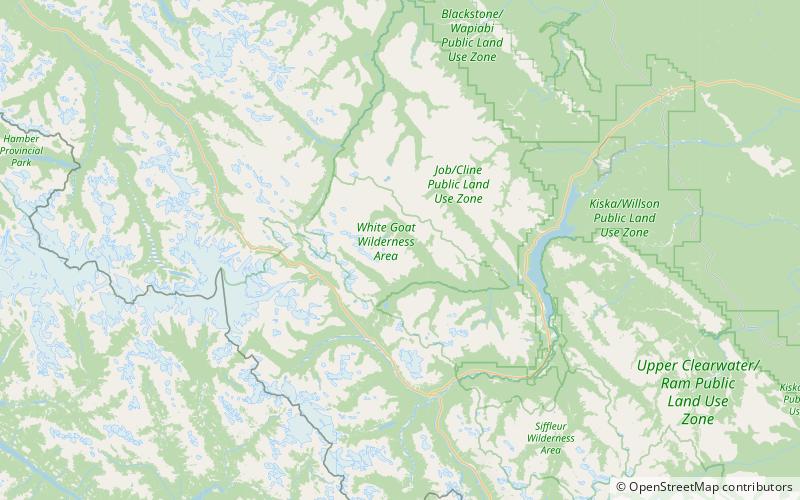
Map

Facts and practical information
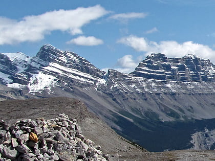
The White Goat Wilderness Area is a provincially designated wilderness area in the Canadian Rockies of Alberta. It was established in 1961 and it, as one of the three wilderness areas of Alberta, has the strictest form of government protection available in Canada. All development is forbidden and only travel by foot is permitted. Hunting and fishing are not allowed. The other two wilderness areas are Ghost River Wilderness Area and Siffleur Wilderness Area and together the three areas total 249,548.80 acres. ()
Established: 1961 (65 years ago)Area: 171.65 mi²Elevation: 8783 ft a.s.l.Coordinates: 52°13'32"N, 116°51'7"W
Day trips
White Goat Wilderness Area – popular in the area (distance from the attraction)
Nearby attractions include: Cirrus Mountain, Cloister Mountains.


