Great Central Lake
Map

Map

Facts and practical information
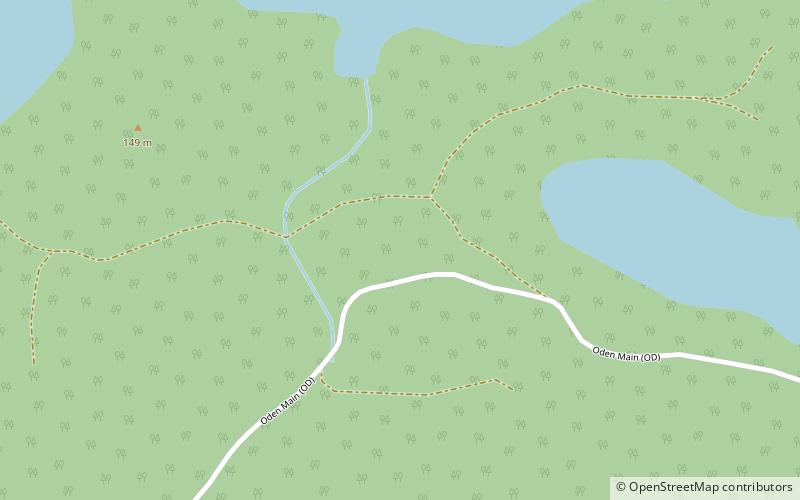
Great Central Lake is a lake on Vancouver Island, British Columbia, Canada. It is located north of Sproat Lake and to the northwest of the city of Port Alberni. It is 45 kilometres long, with an area of 50.85 square kilometres and mean depth of 124 metres, to a maximum of 250 metres, making it the second deepest lake on Vancouver Island. The lake is long and narrow, with the exception of Trestle Bay located on the east end of the lake. It is nestled beneath low mountains, with second-growth forest surrounding most of the lake. The water level is controlled by a dam on the east side. ()
Alternative names: Area: 19.69 mi²Length: 27.96 miWidth: 8038 ftMaximum depth: 820 ftElevation: 413 ft a.s.l.Coordinates: 49°21'25"N, 125°13'5"W
Location
British Columbia
ContactAdd
Social media
Add
