Granville Entertainment District, Vancouver
Map
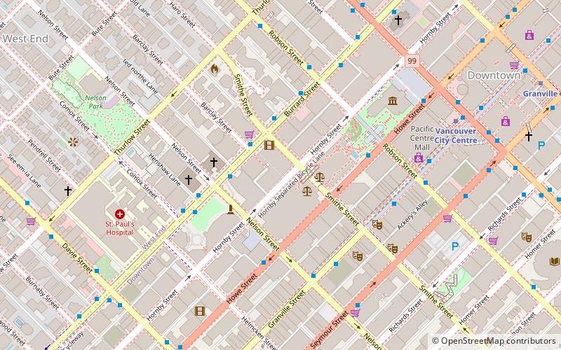
Map

Facts and practical information
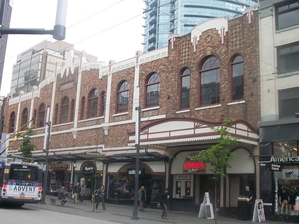
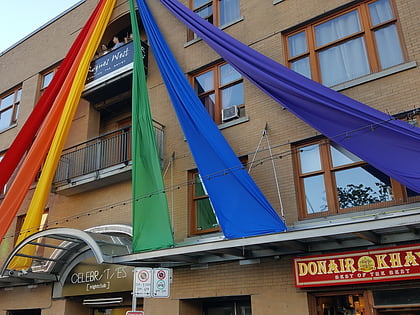
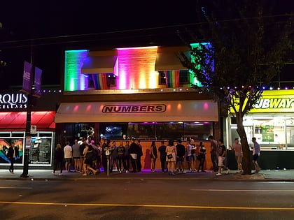
The Granville Entertainment District is a neighbourhood in Downtown Vancouver known for its vast assortment of bars, danceclubs, restaurants, nightlife, and urban adult oriented shops and entertainment. The entertainment district centred on a seven-block stretch of the Granville Mall and surrounding streets. ()
Coordinates: 49°16'53"N, 123°7'26"W
Address
Downtown VancouverVancouver
ContactAdd
Social media
Add
Day trips
Granville Entertainment District – popular in the area (distance from the attraction)
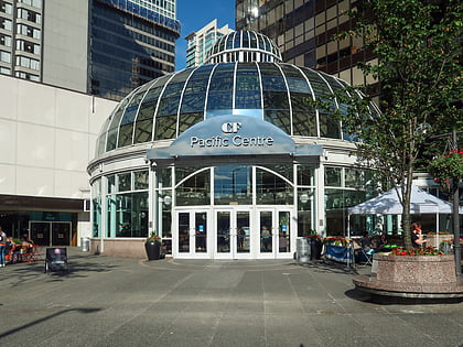
Nearby attractions include: Commodore Ballroom, Celebrities Nightclub, Vancouver Art Gallery, Pacific Centre.
Frequently Asked Questions (FAQ)
Which popular attractions are close to Granville Entertainment District?
Nearby attractions include Law Courts, Vancouver (2 min walk), First Baptist Church Vancouver, Vancouver (3 min walk), St. Andrew's Wesley Church, Vancouver (4 min walk), Contemporary Art Gallery, Vancouver (4 min walk).
How to get to Granville Entertainment District by public transport?
The nearest stations to Granville Entertainment District:
Bus
Trolleybus
Metro
Train
Ferry
Bus
- Burrard St at Smithe St • Lines: 2 (2 min walk)
- Howe Street at Nelson Street • Lines: N10 (4 min walk)
Trolleybus
- Granville St at Nelson St • Lines: 10, 14, 16, 4, 7 (4 min walk)
- Robson St at Burrard St • Lines: 5 (4 min walk)
Metro
- Vancouver City Centre • Lines: Canada Line (7 min walk)
- Burrard • Lines: Expo Line (10 min walk)
Train
- Waterfront (17 min walk)
- Vancouver Pacific Central (33 min walk)
Ferry
- Aquatic Centre Dock • Lines: False Creek Ferries Route 1, False Creek Ferries Route 2 (17 min walk)
- Hornby Terminal • Lines: Aquabus (18 min walk)

 SkyTrain