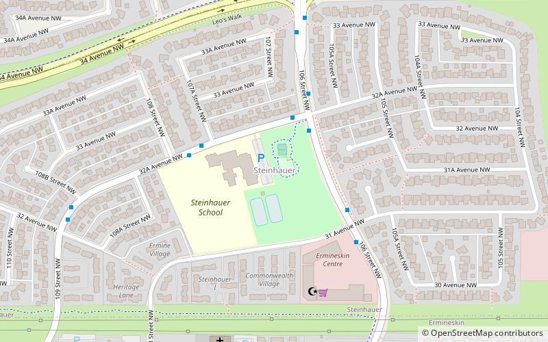
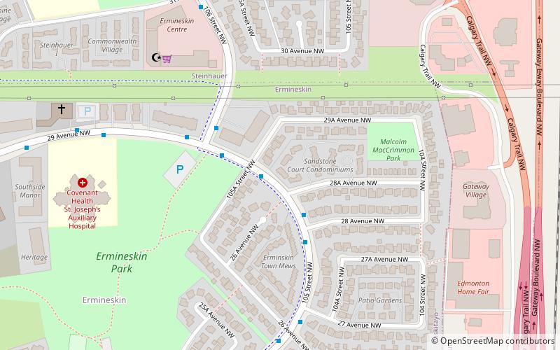
Steinhauer, Edmonton
Map
Facts and practical information
Steinhauer is a residential neighbourhood in SW Edmonton. "The neighbourhood is named for a missionary who settled in Alberta during the mid-1800s," Henry Bird Steinhauer. ()
Area: 227.34 acres (0.3552 mi²)Coordinates: 53°27'52"N, 113°30'18"W
Address
Southwest Edmonton (Steinhauer)Edmonton
ContactAdd
Social media
Add
Getting there by public transportation
Public transportation stops near this location
- Bus
- Light rail
 Bus
Bus
- Calculate routeCentury Park Transit Centre 17 min walk
- Calculate route4445 19 min walk
- Calculate routeCentury Park 18 min walk
Day trips
Frequently Asked Questions (FAQ)
Which popular attractions are close to Steinhauer?
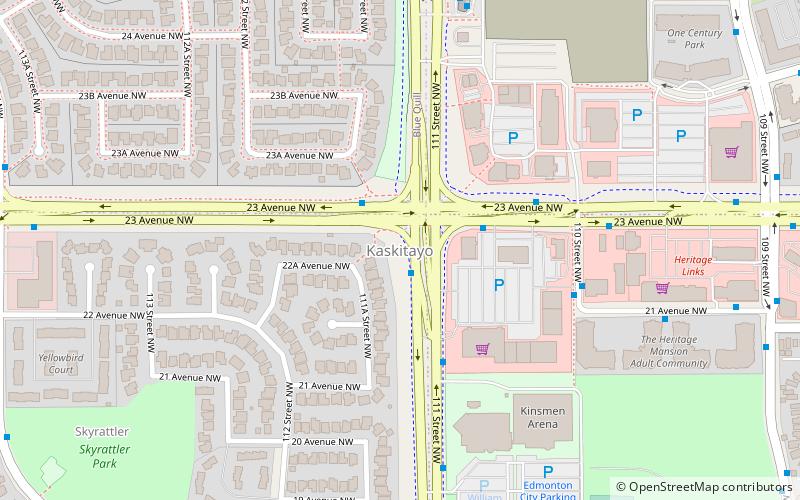
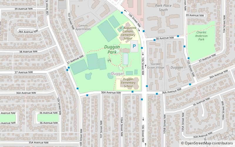
Nearby attractions include Edmonton-Rutherford, Edmonton (10 min walk), Ermineskin, Edmonton (12 min walk), Duggan, Edmonton (14 min walk), Kaskitayo, Edmonton (23 min walk).
How to get to Steinhauer by public transport?
The nearest stations to Steinhauer:
Bus
Light rail
Bus
- Century Park Transit Centre • Lines: 17, 23, 24, 30, 347, 40, 41, 43, 44, 45, 46, 48, 49, 74, 747, 77, 78, 79 (17 min walk)
- 4445 • Lines: 79 (19 min walk)
Light rail
- Century Park • Lines: 501, 502 (18 min walk)