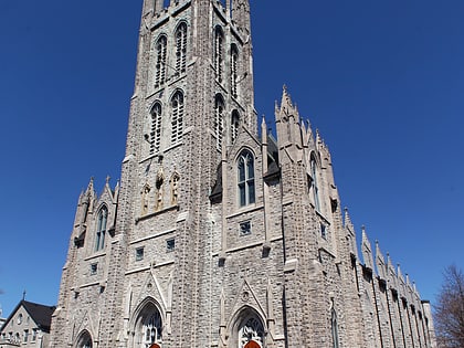
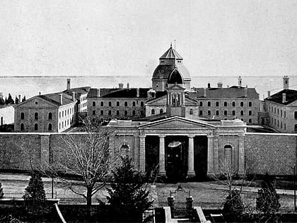
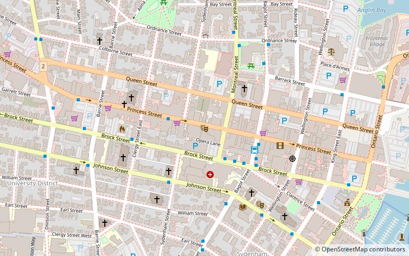
The Isabel Bader Centre for the Performing Arts, Kingston
Map
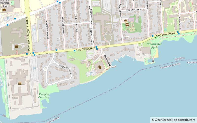
Map

Facts and practical information
The Isabel Bader Centre for the Performing Arts (address: 390 King Street West) is a place located in Kingston (Ontario province) and belongs to the category of concerts and shows, theater, universities and schools.
It is situated at an altitude of 272 feet, and its geographical coordinates are 44°13'15"N latitude and 76°30'24"W longitude.
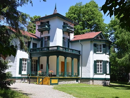
Among other places and attractions worth visiting in the area are: Modern Fuel Artist-Run Centre (museum, 1 min walk), Bellevue House (museum, 6 min walk), Alwington (neighbourhood, 7 min walk).
Coordinates: 44°13'15"N, 76°30'24"W
Day trips
The Isabel Bader Centre for the Performing Arts – popular in the area (distance from the attraction)
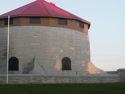
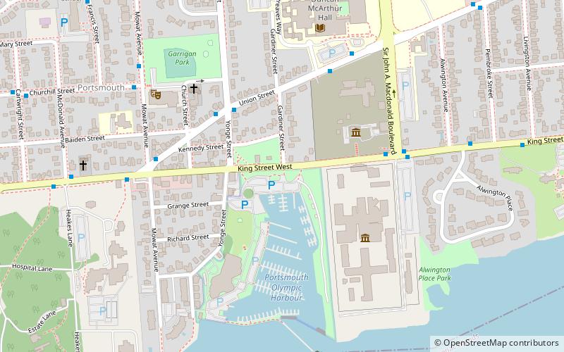
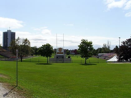
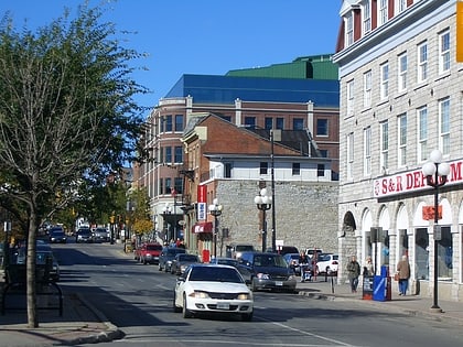
Nearby attractions include: Murney Tower, Portsmouth Olympic Harbour, Richardson Stadium, Princess Street.
Frequently Asked Questions (FAQ)
Which popular attractions are close to The Isabel Bader Centre for the Performing Arts?
Nearby attractions include Modern Fuel Artist-Run Centre, Kingston (1 min walk), Bellevue House, Kingston (6 min walk), Alwington, Kingston (7 min walk), Beth Israel Congregation, Kingston (9 min walk).

