Crowsnest Lake
Map

Map

Facts and practical information
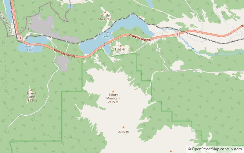
Crowsnest Lake is a lake in southwestern Alberta, Canada. It lies near the summit of the Crowsnest Pass in the southern Canadian Rockies and gives rise to the Crowsnest River. ()
Length: 2953 ftWidth: 9843 ftMaximum depth: 90 ftElevation: 4472 ft a.s.l.Coordinates: 49°37'58"N, 114°38'17"W
Location
Alberta
ContactAdd
Social media
Add
Day trips
Crowsnest Lake – popular in the area (distance from the attraction)
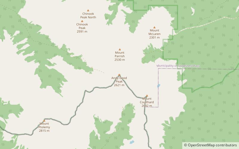
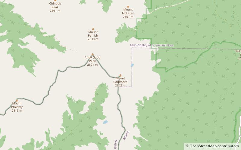
Nearby attractions include: Booming Ice Chasm, Crowsnest Mountain, Andy Good Peak, Mount Coulthard.


