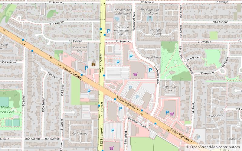
Fleetwood, Surrey

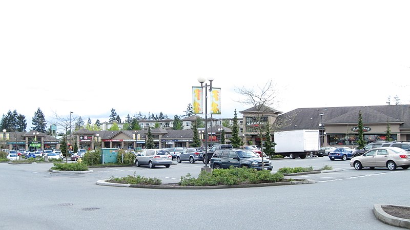
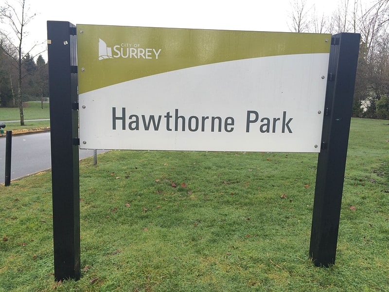
Gallery (2)
Map
Map
Gallery
Facts and practical information
Coordinates: 49°10'0"N, 122°48'0"W
Getting there by public transportation
Public transportation stops near this location
- Bus
 Bus
Bus
- Calculate route152 St at Fraser Hwy 3 min walk
- Calculate routeFraser Hwy at 152 St 3 min walk
- Calculate routeFraser Hwy at Fleetwood Way 5 min walk
Day trips


Frequently Asked Questions (FAQ)
How to get to Fleetwood by public transport?
The nearest stations to Fleetwood:
Bus
Bus
- 152 St at Fraser Hwy • Lines: 320, 375 (3 min walk)
- Fraser Hwy at 152 St • Lines: 320, 502, 503 (3 min walk)