Thomas Foster Memorial, Uxbridge

Gallery (1)
Map
Map
Facts and practical information
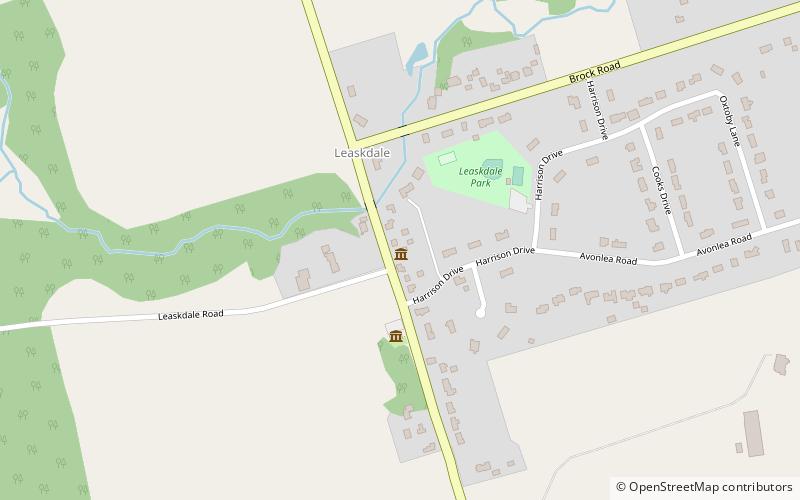
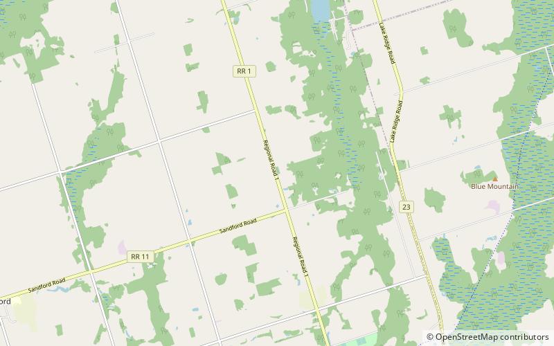
Thomas Foster Memorial (address: 9449 Durham Regional Road 1) is a place located in Uxbridge (Ontario province) and belongs to the category of cemetery.
It is situated at an altitude of 948 feet, and its geographical coordinates are 44°9'29"N latitude and 79°8'28"W longitude.
Among other places and attractions worth visiting in the area are: Leaskdale Manse House (church, 84 min walk), The Second Wedge Brewing Co. (brewery, 88 min walk), Uxbridge Historical Centre (visitor center, 90 min walk).
Coordinates: 44°9'29"N, 79°8'28"W
Day trips