Chipmunk Mountain

Gallery (1)
Map
Map
Facts and practical information
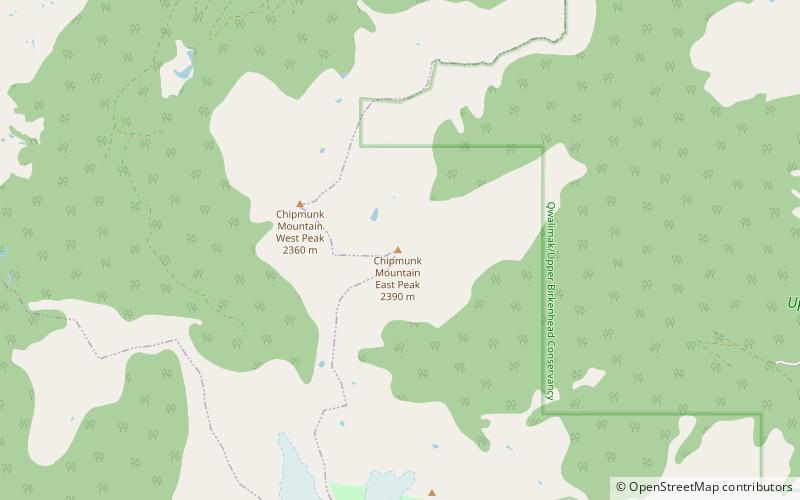
Chipmunk Mountain is a mountain in southwestern British Columbia, Canada, located 23 km southwest of Bralorne. It has an elevation of 2,390 m and a topographic prominence of 540 m, making it the highest point on an east-trending screed ridge. This horn-like rocky tower is similar to The Black Tusk in Garibaldi Provincial Park. ()
Elevation: 7841 ftProminence: 1772 ftCoordinates: 50°34'49"N, 122°55'55"W