Simcoe Place, Toronto
Map
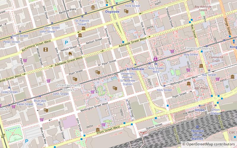
Map

Facts and practical information
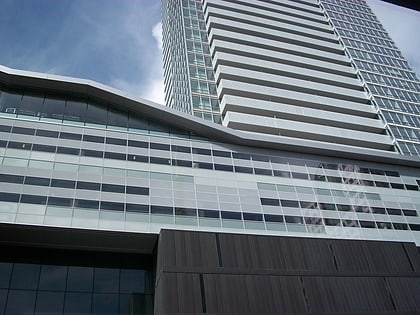
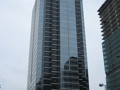
Simcoe Place is an office building and shopping centre in Toronto, Ontario, Canada. The tower 148 metres with 33 floors. It was completed by architects Carlos A Ott and NORR in 1995. The late-Modernist building was built by developer Cadillac Fairview. It was the only major office tower built in Toronto during the mid-1990s, a period between the early decade real estate bubble and the building boom of the 21st century. ()
Day trips
Simcoe Place – popular in the area (distance from the attraction)
Nearby attractions include: First Canadian Place, Toronto-Dominion Centre, Campbell House, Sun Life Centre.
Frequently Asked Questions (FAQ)
Which popular attractions are close to Simcoe Place?
Nearby attractions include St. Andrew's Church, Toronto (1 min walk), Toronto Entertainment District, Toronto (2 min walk), Sun Life Centre, Toronto (2 min walk), Roy Thomson Hall, Toronto (2 min walk).
How to get to Simcoe Place by public transport?
The nearest stations to Simcoe Place:
Tram
Metro
Bus
Train
Ferry
Tram
- University Avenue, St. Andrew Station • Lines: 504A, 504B (2 min walk)
- King Street West • Lines: 503 (4 min walk)
Metro
- St. Andrew • Lines: 1 (2 min walk)
- Osgoode • Lines: 1 (7 min walk)
Bus
- King Street West • Lines: 19 (8 min walk)
- Adelaide Street West • Lines: 19 (9 min walk)
Train
- Toronto Union Station (9 min walk)
Ferry
- Jack Layton Ferry Terminal • Lines: Toronto Island Ferry, Ward's Island (19 min walk)
- Bathurst Street Terminal • Lines: Billy Bishop Airport Ferry (28 min walk)
 Subway
 Streetcar system
 PATH
PATH


