Westervelt College, London
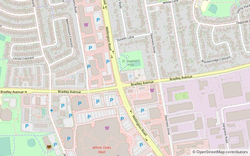
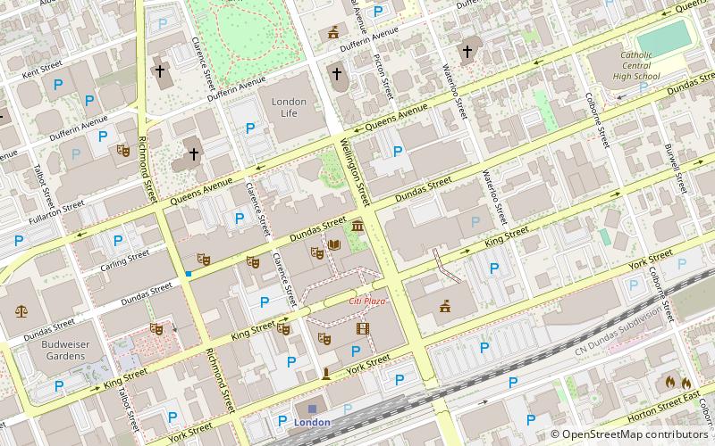
Map
Facts and practical information
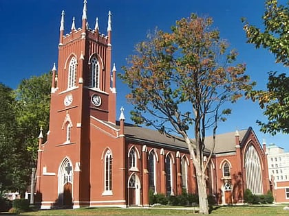
Westervelt College is a Southwestern Ontario private career college located in Brantford, Kitchener, London, and Windsor. The college offers the most career training programs across Ontario. Founded in 1885, it offers Diploma programs in fields of Business, Healthcare, Law, Service, and Information Technology. The college provides career services for students and provides a job posting service for potential employers. ()
Established: 1885 (141 years ago)Coordinates: 42°56'6"N, 81°13'24"W
Day trips
Westervelt College – popular in the area (distance from the attraction)
Nearby attractions include: London Regional Children's Museum, Budweiser Gardens, White Oaks Mall, Forest City Velodrome.
 Tube
Tube
