Halifax Citadel National Historic Site, Halifax
Map

Map

Facts and practical information
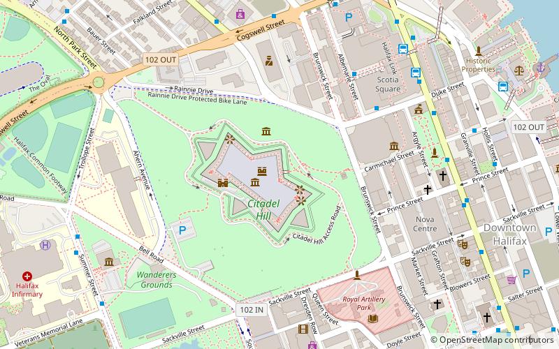
Citadel Hill is a hill that is a National Historic Site in Halifax, Nova Scotia, Canada. Four fortifications have been constructed on Citadel Hill since the city was founded by the English in 1749, and were referred to as Fort George—but only the third fort was officially named Fort George. According to General Orders of October 20, 1798, it was named after King George III. The first two and the fourth and current fort, were officially called the Halifax Citadel. The last is a concrete star fort. ()
Address
South End (Downtown Halifax)Halifax
ContactAdd
Social media
Add
Day trips
Halifax Citadel National Historic Site – popular in the area (distance from the attraction)
Nearby attractions include: Halifax Town Clock, St. Paul's Church, Nova Scotia Museum, Scotia Square.
Frequently Asked Questions (FAQ)
Which popular attractions are close to Halifax Citadel National Historic Site?
Nearby attractions include Halifax Town Clock, Halifax (3 min walk), Nova Scotia Sport Hall of Fame, Halifax (4 min walk), Scotiabank Centre, Halifax (4 min walk), Royal Artillery Park, Halifax (5 min walk).
How to get to Halifax Citadel National Historic Site by public transport?
The nearest stations to Halifax Citadel National Historic Site:
Bus
Train
Bus
- 9061 - Albemarle St After Duke St • Lines: 320 (5 min walk)
- 6455 - Cogswell St After Brunswick St • Lines: 10 (7 min walk)
Train
- Halifax (21 min walk)


