Akamina-Kishinena Provincial Park Travel Guide
Facts and practical information
Nestled in the stunning landscape of the Canadian Rockies, Akamina-Kishinena Provincial Park is a hidden gem for outdoor enthusiasts and nature lovers. The park is located in Grasmere, British Columbia, and offers a diverse range of activities for visitors to enjoy.
Hiking is a popular activity in Akamina-Kishinena Provincial Park, with a variety of trails that cater to all skill levels. From leisurely strolls through lush meadows to challenging ascents to breathtaking viewpoints, there is something for everyone. The park is also home to several pristine alpine lakes, perfect for a refreshing swim or a peaceful picnic surrounded by the beauty of nature.
Wildlife enthusiasts will be delighted by the abundance of native species that call the park home. Keep an eye out for grizzly bears, mountain goats, and elk as you explore the park, and don't forget to bring your camera to capture these incredible creatures in their natural habitat.
For those seeking a more adventurous experience, Akamina-Kishinena Provincial Park offers opportunities for backcountry camping and mountaineering. Immerse yourself in the rugged wilderness and spend a night under the stars, far away from the hustle and bustle of everyday life.
The park also boasts a rich cultural history, with evidence of First Nations presence dating back thousands of years. Visitors can learn about the traditional land use and significance of the area to the Ktunaxa people, adding a deeper layer of appreciation to the natural beauty of the park.
British Columbia
Akamina-Kishinena Provincial Park Attractions - What to See and Explore
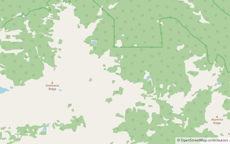
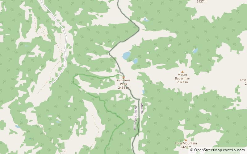
Akamina-Kishinena Provincial Park offers many attractions and places to visit. Here are the most important ones: King Edward Peak, Kishinena Peak. Below you will find a complete list of places worth visiting.

Best Time To Visit Akamina-Kishinena Provincial Park
Learn when is the best time to travel to Akamina-Kishinena Provincial Park weather-wise and what to expect in each season.